Export Processing Zone · China
Biandong Industrial Cluster Active
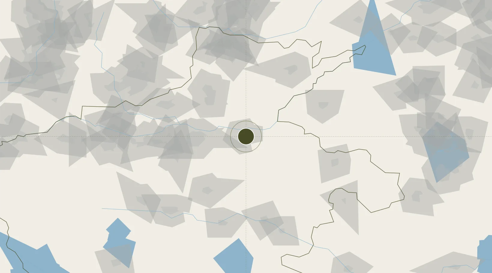
34.8019°, 114.3868°
767 ha
Zone area
454.9 km
Nearest port
6.9 km
Nearest airport
Gateway access
Zone profile
Zone type
Export Processing Zone
Region
Henan
Status
Active
Management
Public
Operator
Working Committee of Biandong Industrial Cluster
Legal framework
Detailed control planning of BD0201 Neighborhood in Biandong Industrial Cluster area, Kaifeng City
Location
Nearby Logistics Neighbours
Ports
- 1Lanshan455 km
- 2Lianyungang463 km
- 3Hankow469 km
- 4Rizhao476 km
- 5Nanjing505 km
Airports
- 1Kaifeng Air Base7 km
- 2Zhengzhou Xinzheng International Airport58 km
- 3Zhengzhou Air Base60 km
- 4Shangqiu Air Base106 km
- 5Anyang Hongqiqu Airport119 km
Cities
- 1Kaifeng5 km
- 2Zhengzhoudong Railway Station57 km
- 3Zhengzhou66 km
- 4Xinxiang73 km
- 5Dazhaoying77 km
DatabookThe Record of Consolidated Knowledge
China beyond logistics?