Export Processing Zone · China

Huanglong Park of Kaifeng Economic Development Zone Active
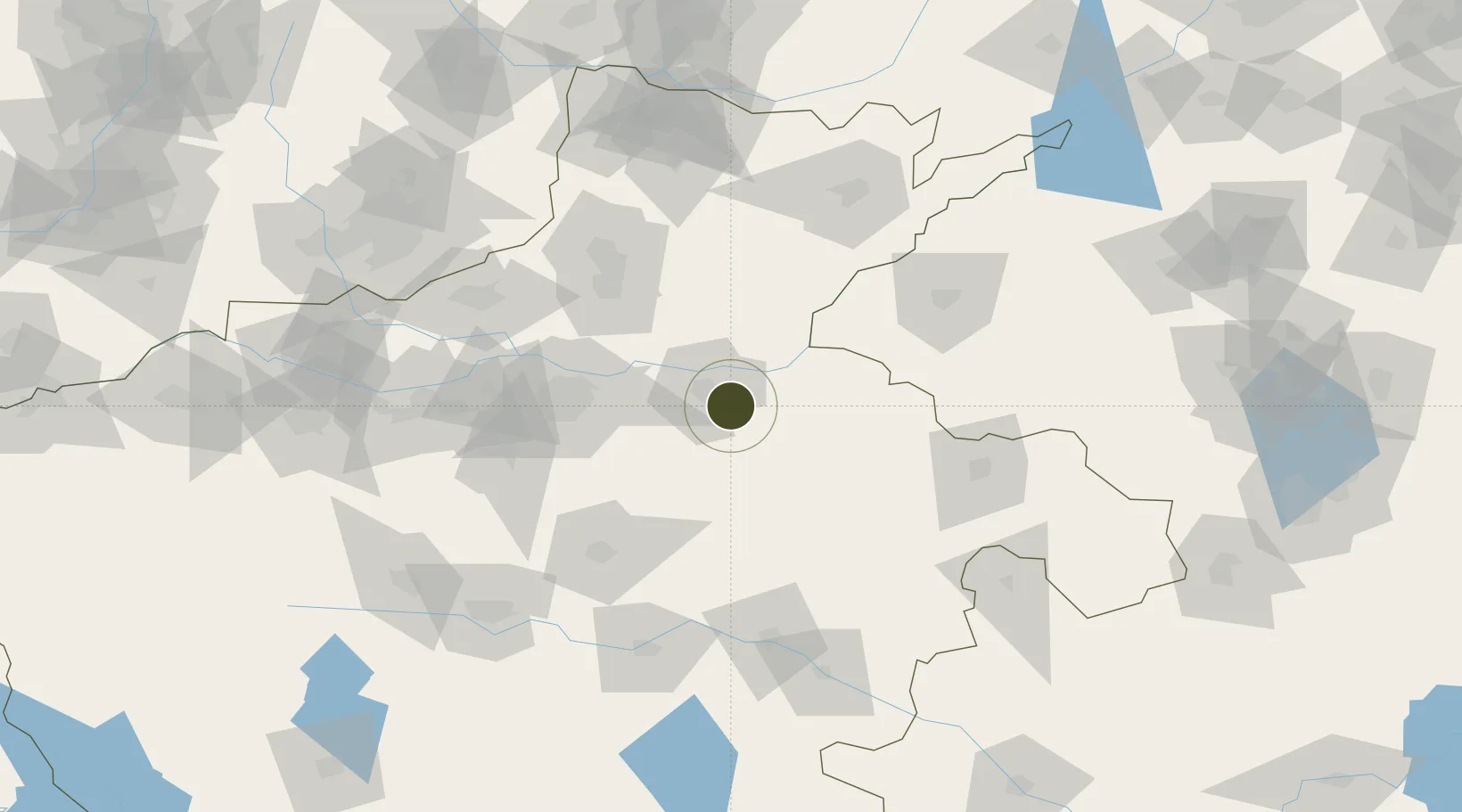
34.7330°, 114.4585°
1,423 ha
Zone area
449.2 km
Nearest port
11.2 km
Nearest airport

Gateway access

Nearest neighbours — logibook spatial index (haversine) over the source coordinates

Zone profile

Zone type
Export Processing Zone
Open Zone Map
Region
Henan
Open Zone Map
Status
Active
Open Zone Map
Management
Public
Open Zone Map
Operator
Management Committee of Huanglong Park of Kaifeng Economic Development Zone
Open Zone Map
Legal framework
Established in 2002
Open Zone Map

Location

Location of ozm-1312
Natural Earth 10m (public domain) · Henan · ozm-1312 · 34.73, 114.46GoogleOSMYandex

Nearby Logistics Neighbours

Ports
  1. 1Lanshan449 km
  2. 2Lianyungang456 km
  3. 3Hankow462 km
  4. 4Rizhao471 km
  5. 5Nanjing495 km
Nearest neighbours — logibook spatial index (haversine) over the source coordinates
Airports
  1. 1Kaifeng Air Base11 km
  2. 2Zhengzhou Xinzheng International Airport60 km
  3. 3Zhengzhou Air Base68 km
  4. 4Shangqiu Air Base97 km
  5. 5Anyang Hongqiqu Airport127 km
Nearest neighbours — logibook spatial index (haversine) over the source coordinates
Cities
  1. 1Kaifeng13 km
  2. 2Zhengzhoudong Railway Station63 km
  3. 3Zhengzhou72 km
  4. 4Xinxiang83 km
  5. 5Dazhaoying87 km
Nearest neighbours — logibook spatial index (haversine) over the source coordinates
Trade Zones
  1. 1Kaifeng City Fine Chemical Industry Cluster4 km
  2. 2Biandong Industrial Cluster10 km
  3. 3Lankao County Industrial Cluster34 km
  4. 4Zhongmu Automobile Industry Cluster41 km
  5. 5Jiulong Industrial Park56 km
Nearest neighbours — logibook spatial index (haversine) over the source coordinates
DatabookThe Record of Consolidated Knowledge
China beyond logistics?
Browse databook

All Sources

Trade ZonesOpen Zone Map
CC BY
Portsthe NGA World Port Index
Public domain (US gov)
AirportsOurAirports
Public domain
LocationsUN/LOCODE
UN/LOCODE — free
← China trade zones