Free Trade Zone · China

Jiulong Industrial Park Active
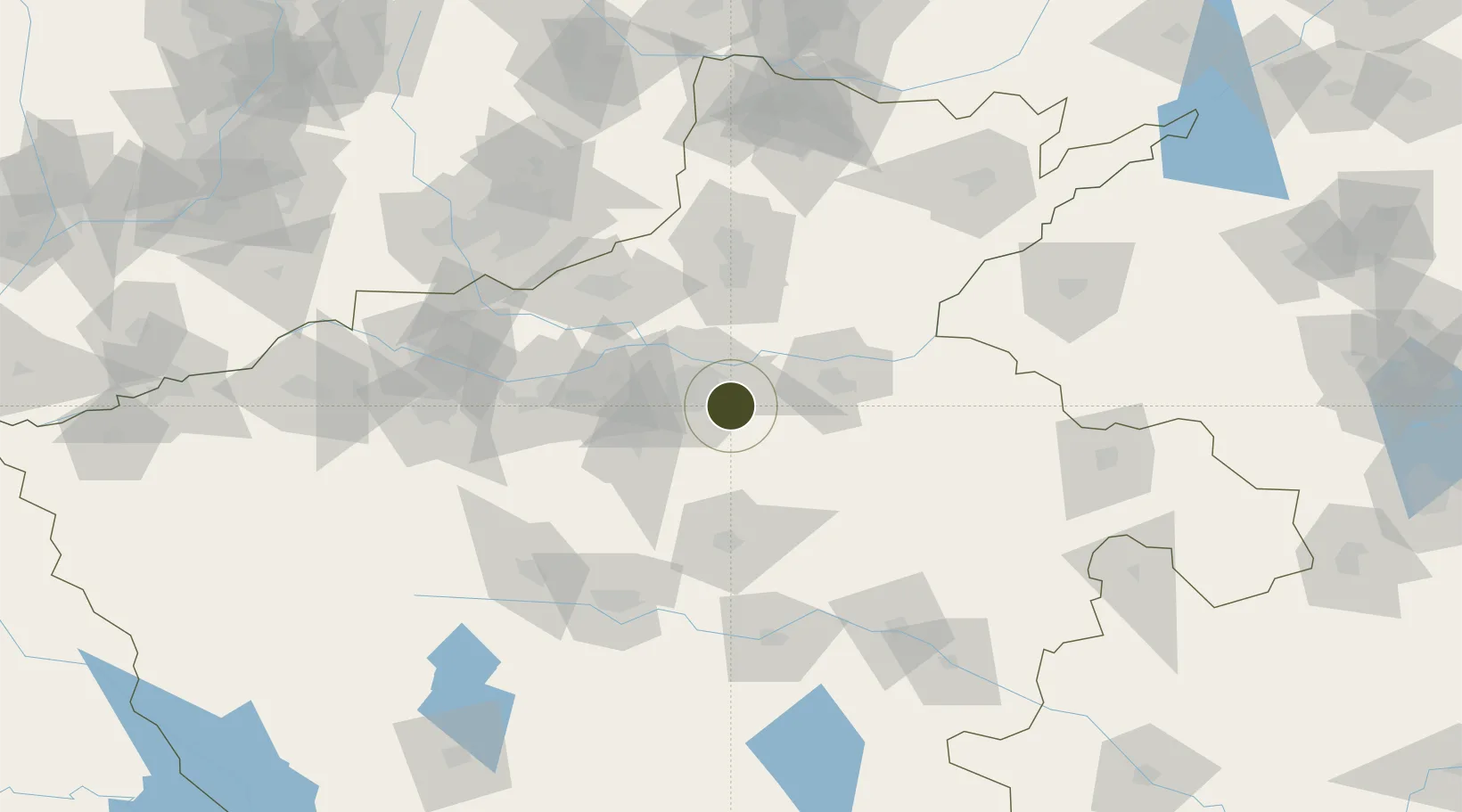
34.6824°, 113.8516°
2,142 ha
Zone area
457.6 km
Nearest port
17.3 km
Nearest airport

Gateway access

Nearest neighbours — logibook spatial index (haversine) over the source coordinates

Zone profile

Zone type
Free Trade Zone
Open Zone Map
Region
Henan
Open Zone Map
Status
Active
Open Zone Map
Management
Public
Open Zone Map
Operator
Kowloon Industrial Park Management Committee
Open Zone Map
Legal framework
Unavailable
Open Zone Map

Location

Location of ozm-1557
Natural Earth 10m (public domain) · Henan · ozm-1557 · 34.68, 113.85GoogleOSMYandex

Nearby Logistics Neighbours

Ports
  1. 1Hankow458 km
  2. 2Lanshan505 km
  3. 3Lianyungang512 km
  4. 4Rizhao526 km
  5. 5Nanjing539 km
Nearest neighbours — logibook spatial index (haversine) over the source coordinates
Airports
  1. 1Zhengzhou Xinzheng International Airport17 km
  2. 2Zhengzhou Air Base23 km
  3. 3Kaifeng Air Base45 km
  4. 4Luoyang Beijiao Airport134 km
  5. 5Luyang Air Base142 km
Nearest neighbours — logibook spatial index (haversine) over the source coordinates
Cities
  1. 1Zhengzhoudong Railway Station11 km
  2. 2Zhengzhou19 km
  3. 3Kaifeng45 km
  4. 4Dazhaoying65 km
  5. 5Xinxiang69 km
Nearest neighbours — logibook spatial index (haversine) over the source coordinates
Trade Zones
  1. 1Baofeng High-tech Industrial Development Zone10 km
  2. 2Zhongmu Automobile Industry Cluster15 km
  3. 3Jinshui High-tech Industrial Development Zone20 km
  4. 4Yiyang County Industrial Cluster21 km
  5. 5Huiji Economic Development Zone27 km
Nearest neighbours — logibook spatial index (haversine) over the source coordinates
DatabookThe Record of Consolidated Knowledge
China beyond logistics?
Browse databook

All Sources

Trade ZonesOpen Zone Map
CC BY
Portsthe NGA World Port Index
Public domain (US gov)
AirportsOurAirports
Public domain
LocationsUN/LOCODE
UN/LOCODE — free
← China trade zones