Diversified Zone · China
Yuchuan Industrial Cluster Area Active
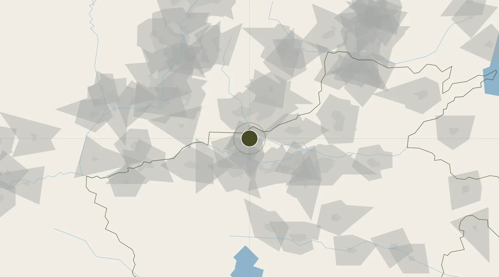
35.1439°, 112.6210°
540 ha
Zone area
530.3 km
Nearest port
49.6 km
Nearest airport
Gateway access
Zone profile
Zone type
Diversified Zone
Region
Henan
Status
Active
Management
Public
Operator
Management Committee of Yuchuan Industrial Cluster Area
Legal framework
According to the Implementation Plan of Industrial Agglomeration (Development) Area Management System of Jiyuan city, part of villages and neighborhood committees originally belonging to towns (streets) are assigned to industrial agglomeration (developmen
Location
Nearby Logistics Neighbours
Ports
- 1Hankow530 km
- 2Lanshan614 km
- 3Lianyungang624 km
- 4Tianjin Xin Gang628 km
- 5Rizhao631 km
Airports
- 1Luoyang Beijiao Airport50 km
- 2Zhengzhou Air Base106 km
- 3Changzhi Wangcun Airport131 km
- 4Zhengzhou Xinzheng International Airport131 km
- 5Linfen Yaodu Airport141 km
Cities
- 1Jincheng42 km
- 2Jiaozuo50 km
- 3Luoyang57 km
- 4Zhengzhou104 km
- 5Dazhaoying105 km
DatabookThe Record of Consolidated Knowledge
China beyond logistics?