Export Processing Zone · China

Qingcheng Yima Industrial Concentration Zone Active
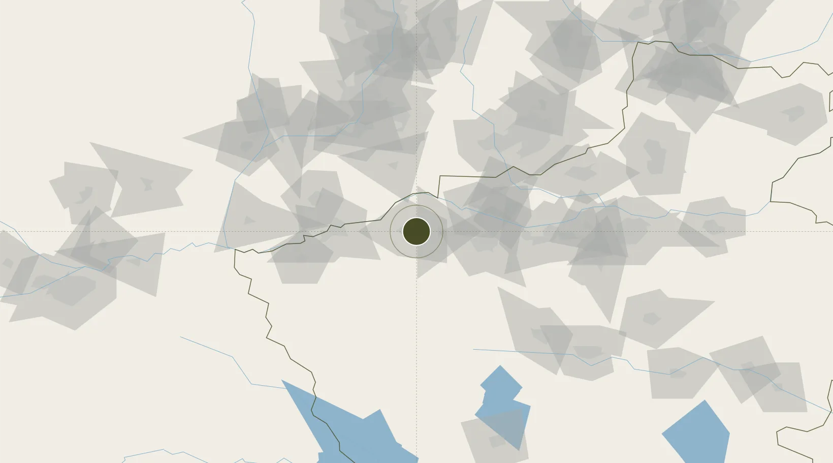
34.7656°, 111.8600°
1,055 ha
Zone area
517.4 km
Nearest port
48.3 km
Nearest airport

Gateway access

Nearest neighbours — logibook spatial index (haversine) over the source coordinates

Zone profile

Zone type
Export Processing Zone
Open Zone Map
Region
Henan
Open Zone Map
Status
Active
Open Zone Map
Management
Public
Open Zone Map
Operator
Working Committee of Qingcheng Yima Industrial Concentration Zone
Open Zone Map
Legal framework
Yima Coal chemical Industry Cluster District Management Committee 2020 annual work Briefing
Open Zone Map

Location

Location of ozm-1265
Natural Earth 10m (public domain) · Henan · ozm-1265 · 34.77, 111.86GoogleOSMYandex

Nearby Logistics Neighbours

Ports
  1. 1Hankow517 km
  2. 2Lanshan685 km
  3. 3Lianyungang693 km
  4. 4Rizhao705 km
  5. 5Nanjing705 km
Nearest neighbours — logibook spatial index (haversine) over the source coordinates
Airports
  1. 1Luoyang Beijiao Airport48 km
  2. 2Yuncheng Yanhu International Airport85 km
  3. 3Luyang Air Base153 km
  4. 4Linfen Yaodu Airport153 km
  5. 5Zhengzhou Air Base171 km
Nearest neighbours — logibook spatial index (haversine) over the source coordinates
Cities
  1. 1Luoyang48 km
  2. 2Yuncheng83 km
  3. 3Houma105 km
  4. 4Jincheng119 km
  5. 5Jiaozuo129 km
Nearest neighbours — logibook spatial index (haversine) over the source coordinates
Trade Zones
  1. 1Yima City Coal Chemical Industry Cluster0 km
  2. 2Mianchi County Industrial Cluster7 km
  3. 3Luoyang Petrochemical Industry Cluster40 km
  4. 4Luoning County Industrial Cluster45 km
  5. 5Luoyang Industrial Park48 km
Nearest neighbours — logibook spatial index (haversine) over the source coordinates
DatabookThe Record of Consolidated Knowledge
China beyond logistics?
Browse databook

All Sources

Trade ZonesOpen Zone Map
CC BY
Portsthe NGA World Port Index
Public domain (US gov)
AirportsOurAirports
Public domain
LocationsUN/LOCODE
UN/LOCODE — free
← China trade zones