Diversified Zone · China

Wanzai Industrial Park Active
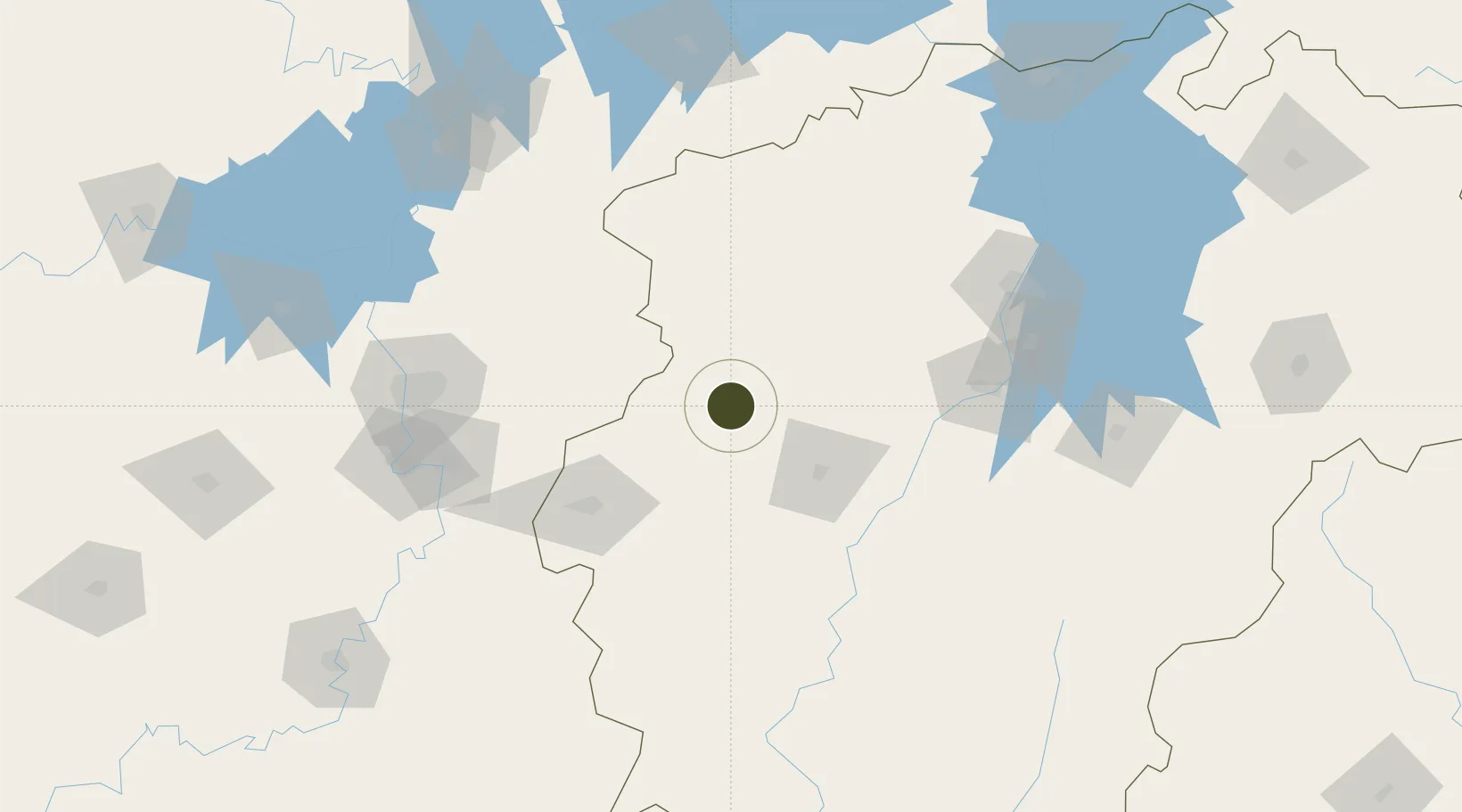
28.1297°, 114.5088°
1,200 ha
Zone area
273.7 km
Nearest port
41.5 km
Nearest airport

Gateway access

Nearest neighbours — logibook spatial index (haversine) over the source coordinates

Zone profile

Zone type
Diversified Zone
Open Zone Map
Region
Jiangxi
Open Zone Map
Status
Active
Open Zone Map
Management
Public
Open Zone Map
Operator
Management Committee of Wanzai Industrial Park
Open Zone Map
Legal framework
Established in August 2002
Open Zone Map

Location

Location of ozm-724
Natural Earth 10m (public domain) · Jiangxi · ozm-724 · 28.13, 114.51GoogleOSMYandex

Nearby Logistics Neighbours

Ports
  1. 1Hankow274 km
  2. 2Fuzhou526 km
  3. 3Zhangzhou528 km
  4. 4Xiamen541 km
  5. 5Quanzhou544 km
Nearest neighbours — logibook spatial index (haversine) over the source coordinates
Airports
  1. 1Yichun Mingyueshan Airport42 km
  2. 2Zhangshu Air Base103 km
  3. 3Changsha Huanghua International Airport127 km
  4. 4Nanchang Xiangtang Air Base142 km
  5. 5Jinggangshan Airport143 km
Nearest neighbours — logibook spatial index (haversine) over the source coordinates
Cities
  1. 1Xinyu56 km
  2. 2Liling113 km
  3. 3Zhuzhou137 km
  4. 4Changsha150 km
  5. 5Xiangtan161 km
Nearest neighbours — logibook spatial index (haversine) over the source coordinates
Trade Zones
  1. 1Yichun Economic Development Zone28 km
  2. 2Fenyi Industrial Park39 km
  3. 3Yifeng Industrial Park42 km
  4. 4Shanggao Industrial Park47 km
  5. 5Pingxiang Economic Development Zone80 km
Nearest neighbours — logibook spatial index (haversine) over the source coordinates
DatabookThe Record of Consolidated Knowledge
China beyond logistics?
Browse databook

All Sources

Trade ZonesOpen Zone Map
CC BY
Portsthe NGA World Port Index
Public domain (US gov)
AirportsOurAirports
Public domain
LocationsUN/LOCODE
UN/LOCODE — free
← China trade zones