UN/LOCODE hub · China
CNZZO

Zhuzhou

27.8500°, 113.1500°
1,129,687
Population
1
Transport functions

Transport Functions

Multimodal
UN/LOCODE

Hub Profile

Place type
Provincial seat
GeoNames
Region
Hunan
GeoNames
Population
1,129,687
GeoNames
Time zone
Asia/Shanghai
GeoNames
Elevation
54 m
GeoNames
Logistics facilities
1
UN/LOCODE

Location

Location of CNZZO
Natural Earth 10m (public domain) · Hunan · CNZZO · 27.85, 113.15GoogleOSMYandex

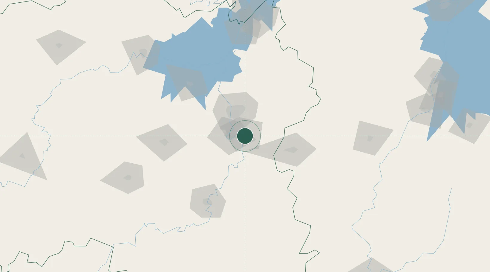
Nearby Logistics Neighbours

Cities
  1. 1Xiangtan25 km
  2. 2Liling39 km
  3. 3Changsha42 km
  4. 4Shaoshan66 km
  5. 5Kaiyun74 km
Nearest neighbours — logibook spatial index (haversine) over the source coordinates
Ports
  1. 1Hankow323 km
  2. 2Guangzhou526 km
  3. 3Huangpu531 km
  4. 4Huangpuxingang535 km
  5. 5Huizhou587 km
Nearest neighbours — logibook spatial index (haversine) over the source coordinates
Airports
  1. 1Changsha Datuopu Airport / Changsha Air Base31 km
  2. 2Changsha Huanghua International Airport38 km
  3. 3Ningxiang Airport56 km
  4. 4Yichun Mingyueshan Airport114 km
  5. 5Hengyang Nanyue Airport136 km
Nearest neighbours — logibook spatial index (haversine) over the source coordinates
Trade Zones
  1. 1Hetang Industrial Concentration Zone6 km
  2. 2Xiangtan Tianyi Economic Development Zone20 km
  3. 3Muyun Economic Development Zone25 km
  4. 4Tianxin Economic Development Zone27 km
  5. 5Liling Economic Development Zone35 km
Nearest neighbours — logibook spatial index (haversine) over the source coordinates
DatabookThe Record of Consolidated Knowledge
China beyond logistics?
Browse databook

All Sources

LocationsUN/LOCODE
UN/LOCODE — free
LocationsGeoNames
CC BY 4.0
Portsthe NGA World Port Index
Public domain (US gov)
AirportsOurAirports
Public domain
Trade Zonesthe World Bank SEZ database
CC BY 4.0
Trade ZonesOpen Zone Map
CC BY
← China locations