Diversified Zone · China

Shanggao Industrial Park Active
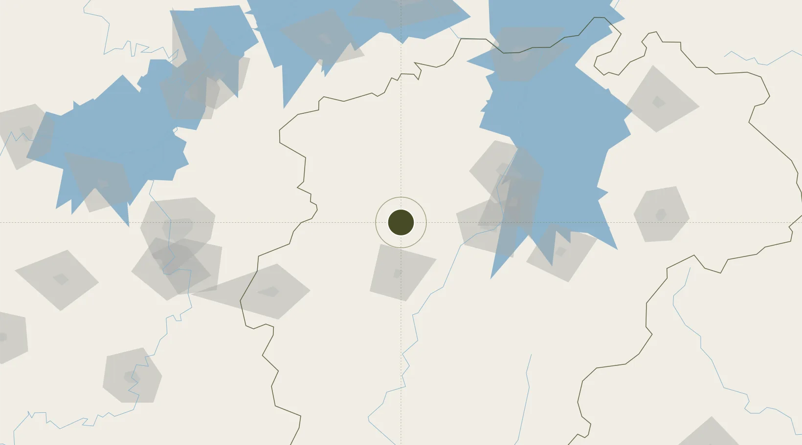
28.2589°, 114.9629°
5,840 ha
Zone area
266.7 km
Nearest port
63.2 km
Nearest airport

Gateway access

Nearest neighbours — logibook spatial index (haversine) over the source coordinates

Zone profile

Zone type
Diversified Zone
Open Zone Map
Region
Jiangxi
Open Zone Map
Status
Active
Open Zone Map
Management
Public
Open Zone Map
Operator
Shanggao Industrial Park Management Committee
Open Zone Map
Legal framework
Since September 2001, construction began
Open Zone Map

Location

Location of ozm-950
Natural Earth 10m (public domain) · Jiangxi · ozm-950 · 28.26, 114.96GoogleOSMYandex

Nearby Logistics Neighbours

Ports
  1. 1Hankow267 km
  2. 2Fuzhou493 km
  3. 3Zhangzhou509 km
  4. 4Quanzhou521 km
  5. 5Xiuyu522 km
Nearest neighbours — logibook spatial index (haversine) over the source coordinates
Airports
  1. 1Zhangshu Air Base63 km
  2. 2Yichun Mingyueshan Airport82 km
  3. 3Nanchang Xiangtang Air Base96 km
  4. 4Nanchang Changbei International Airport114 km
  5. 5Jinggangshan Airport158 km
Nearest neighbours — logibook spatial index (haversine) over the source coordinates
Cities
  1. 1Xinyu51 km
  2. 2Fuzhou135 km
  3. 3Liling160 km
  4. 4Zhuzhou184 km
  5. 5Jiujiang189 km
Nearest neighbours — logibook spatial index (haversine) over the source coordinates
Trade Zones
  1. 1Yifeng Industrial Park17 km
  2. 2Wanzai Industrial Park47 km
  3. 3Gaoan Industrial Park53 km
  4. 4Fenyi Industrial Park58 km
  5. 5Zhangshu Industrial Park63 km
Nearest neighbours — logibook spatial index (haversine) over the source coordinates
DatabookThe Record of Consolidated Knowledge
China beyond logistics?
Browse databook

All Sources

Trade ZonesOpen Zone Map
CC BY
Portsthe NGA World Port Index
Public domain (US gov)
AirportsOurAirports
Public domain
LocationsUN/LOCODE
UN/LOCODE — free
← China trade zones