Large airport · China

Changsha Huanghua International AirportZGHA
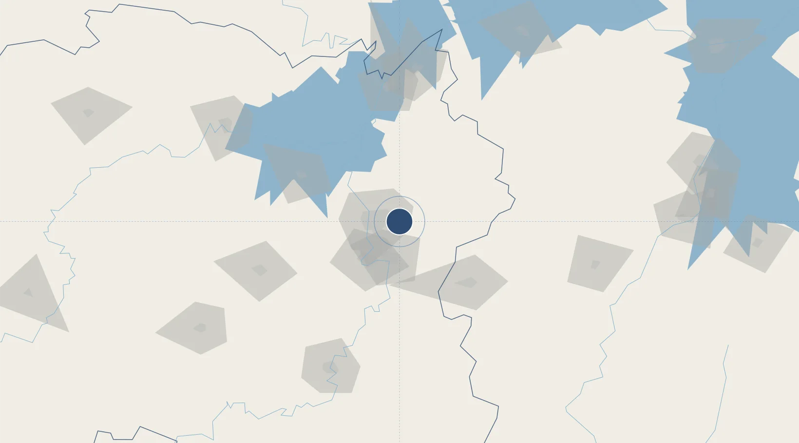
28.1892°, 113.2200°
12,467 ft
Longest runway
2
Runways
217 ft
Elevation

Runway & Layout

Changsha Huanghua International Airport runway & taxiway layout
Runway & taxiway layout — OpenStreetMap (ODbL) / OurAirports

Radio Frequencies

ATIS
128.8 MHz
TWR
118.55 MHz
GND
121.75 MHz
APP
119.65 MHz
CHANGSHU
OurAirports

Navaids

CSX VOR-DME Changsha 113.30 MHz
OurAirports

Runways · 2

RunwayDimensions SurfaceTrue headingLit
18L/36R 12,467 × 197ft Concrete 177°
18R/36L 10,499 × 148ft Asphalt 177°
OurAirports

Airport Specifications

IATA code
CSX
OurAirports
ICAO code
ZGHA
OurAirports
Airport class
Large airport
OurAirports
Scheduled service
Yes
OurAirports
Runway surface
Concrete
OurAirports
Served city
Changsha (Changsha)
OurAirports

Location

Location of ZGHA
Natural Earth 10m (public domain) · Hunan · ZGHA · 28.19, 113.22GoogleOSMYandex

Nearby Logistics Neighbours

Airports
  1. 1Changsha Datuopu Airport / Changsha Air Base29 km
  2. 2Ningxiang Airport64 km
  3. 3Yichun Mingyueshan Airport115 km
  4. 4Yueyang Sanhe Airport125 km
  5. 5Hengyang Nanyue Airport174 km
Nearest neighbours — logibook spatial index (haversine) over the source coordinates
Cities
  1. 1Changsha23 km
  2. 2Zhuzhou38 km
  3. 3Xiangtan49 km
  4. 4Liling64 km
  5. 5Shaoshan79 km
Nearest neighbours — logibook spatial index (haversine) over the source coordinates
Ports
  1. 1Hankow285 km
  2. 2Guangzhou564 km
  3. 3Huangpu568 km
  4. 4Huangpuxingang572 km
  5. 5Huizhou622 km
Nearest neighbours — logibook spatial index (haversine) over the source coordinates
Trade Zones
  1. 1Liuyang High-tech Industrial Development Zone10 km
  2. 2Tianxin Economic Development Zone22 km
  3. 3Muyun Economic Development Zone29 km
  4. 4Yuelu Industrial Concentration Zone31 km
  5. 5Hexi High-Tech Industrial Develoment Zone32 km
Nearest neighbours — logibook spatial index (haversine) over the source coordinates
DatabookThe Record of Consolidated Knowledge
China beyond logistics?
Browse databook

All Sources

AirportsOurAirports
Public domain
Portsthe NGA World Port Index
Public domain (US gov)
LocationsUN/LOCODE
UN/LOCODE — free
Trade Zonesthe World Bank SEZ database
CC BY 4.0
Trade ZonesOpen Zone Map
CC BY
InfrastructureOpenStreetMap
ODbL 1.0
← China airports