Medium airport · China

Yichun Mingyueshan AirportZSYC
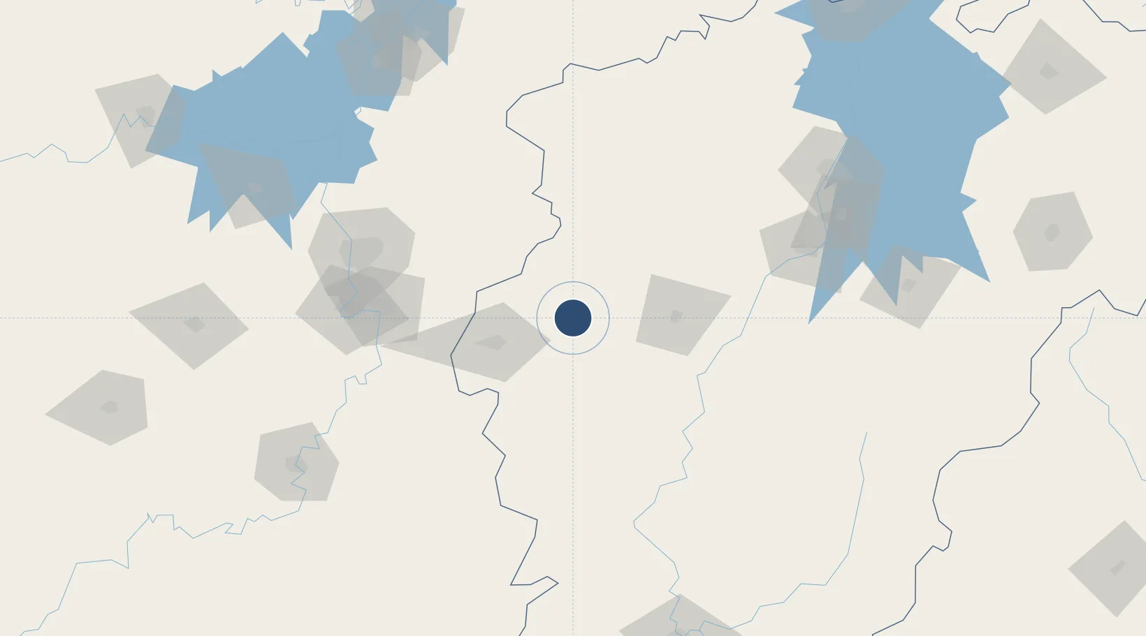
27.8025°, 114.3062°
7,874 ft
Longest runway
1
Runways
430 ft
Elevation

Runway & Layout

Yichun Mingyueshan Airport runway & taxiway layout
Runway & taxiway layout — OpenStreetMap (ODbL) / OurAirports

Runways · 1

RunwayDimensions SurfaceTrue headingLit
06/24 7,874 × —ft
OurAirports

Airport Specifications

IATA code
YIC
OurAirports
ICAO code
ZSYC
OurAirports
Airport class
Medium airport
OurAirports
Scheduled service
Yes
OurAirports
Served city
Yichun
OurAirports

Location

Location of ZSYC
Natural Earth 10m (public domain) · Jiangxi · ZSYC · 27.80, 114.31GoogleOSMYandex

Nearby Logistics Neighbours

Airports
  1. 1Jinggangshan Airport113 km
  2. 2Changsha Huanghua International Airport115 km
  3. 3Zhangshu Air Base125 km
  4. 4Changsha Datuopu Airport / Changsha Air Base136 km
  5. 5Ningxiang Airport168 km
Nearest neighbours — logibook spatial index (haversine) over the source coordinates
Cities
  1. 1Xinyu62 km
  2. 2Liling82 km
  3. 3Zhuzhou114 km
  4. 4Changsha137 km
  5. 5Xiangtan138 km
Nearest neighbours — logibook spatial index (haversine) over the source coordinates
Ports
  1. 1Hankow309 km
  2. 2Zhangzhou517 km
  3. 3Xiamen529 km
  4. 4Fuzhou531 km
  5. 5Guangzhou532 km
Nearest neighbours — logibook spatial index (haversine) over the source coordinates
Trade Zones
  1. 1Yichun Economic Development Zone15 km
  2. 2Fenyi Industrial Park35 km
  3. 3Wanzai Industrial Park42 km
  4. 4Pingxiang Economic Development Zone44 km
  5. 5Shanggao Industrial Park82 km
Nearest neighbours — logibook spatial index (haversine) over the source coordinates
DatabookThe Record of Consolidated Knowledge
China beyond logistics?
Browse databook

All Sources

AirportsOurAirports
Public domain
Portsthe NGA World Port Index
Public domain (US gov)
LocationsUN/LOCODE
UN/LOCODE — free
Trade Zonesthe World Bank SEZ database
CC BY 4.0
Trade ZonesOpen Zone Map
CC BY
InfrastructureOpenStreetMap
ODbL 1.0
← China airports