UN/LOCODE hub · China
CNLLI

Liling

27.6667°, 113.4833°
3
Transport functions

Transport Functions

Port
Rail
Road
UN/LOCODE

Hub Profile

Place type
Populated place
GeoNames
Region
Jiangxi
GeoNames
Time zone
Asia/Shanghai
GeoNames
Elevation
148 m
GeoNames
Logistics facilities
1
UN/LOCODE

Location

Location of CNLLI
Natural Earth 10m (public domain) · Jiangxi · CNLLI · 27.67, 113.48GoogleOSMYandex

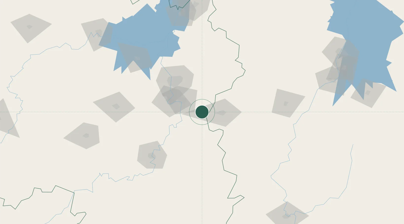
Nearby Logistics Neighbours

Cities
  1. 1Zhuzhou39 km
  2. 2Xiangtan61 km
  3. 3Changsha77 km
  4. 4Kaiyun78 km
  5. 5Shaoshan102 km
Nearest neighbours — logibook spatial index (haversine) over the source coordinates
Ports
  1. 1Hankow334 km
  2. 2Guangzhou507 km
  3. 3Huangpu510 km
  4. 4Huangpuxingang513 km
  5. 5Huizhou560 km
Nearest neighbours — logibook spatial index (haversine) over the source coordinates
Airports
  1. 1Changsha Huanghua International Airport64 km
  2. 2Changsha Datuopu Airport / Changsha Air Base68 km
  3. 3Yichun Mingyueshan Airport82 km
  4. 4Ningxiang Airport94 km
  5. 5Leiyang Air Base134 km
Nearest neighbours — logibook spatial index (haversine) over the source coordinates
Trade Zones
  1. 1Liling Economic Development Zone6 km
  2. 2Hetang Industrial Concentration Zone35 km
  3. 3Pingxiang Economic Development Zone40 km
  4. 4Xiangtan Tianyi Economic Development Zone52 km
  5. 5Tianxin Economic Development Zone63 km
Nearest neighbours — logibook spatial index (haversine) over the source coordinates
DatabookThe Record of Consolidated Knowledge
China beyond logistics?
Browse databook

All Sources

LocationsUN/LOCODE
UN/LOCODE — free
Portsthe NGA World Port Index
Public domain (US gov)
AirportsOurAirports
Public domain
Trade Zonesthe World Bank SEZ database
CC BY 4.0
Trade ZonesOpen Zone Map
CC BY
← China locations