Export Processing Zone · China

Yifeng Industrial Park Active
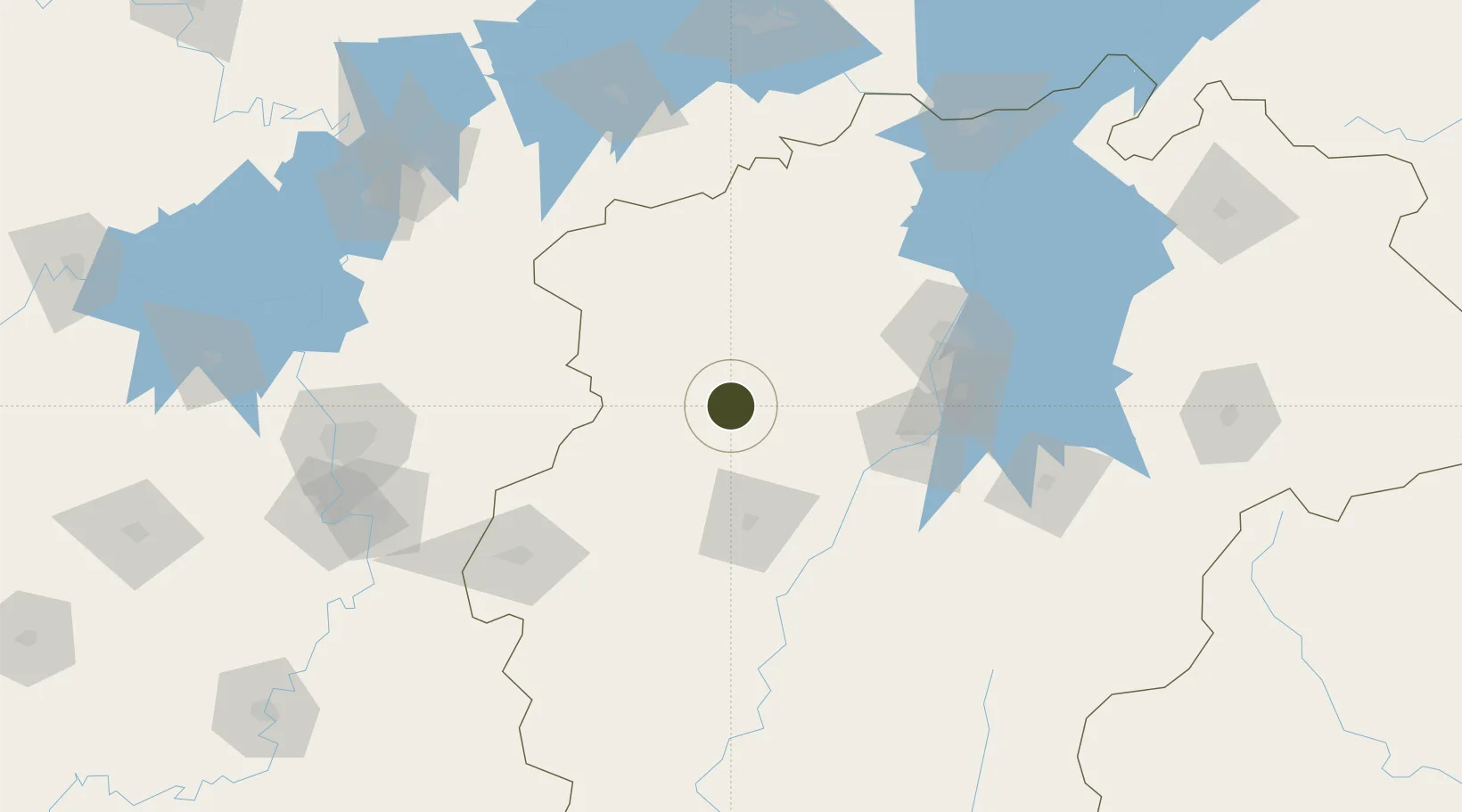
28.3685°, 114.8458°
1,000 ha
Zone area
252.2 km
Nearest port
78.9 km
Nearest airport

Gateway access

Nearest neighbours — logibook spatial index (haversine) over the source coordinates

Zone profile

Zone type
Export Processing Zone
Open Zone Map
Region
Jiangxi
Open Zone Map
Status
Active
Open Zone Map
Management
Public
Open Zone Map
Operator
Working Committee of Yifeng Industrial Park
Open Zone Map
Legal framework
Key tasks for Yifeng Industrial Park in Jiangxi in 2020
Open Zone Map

Location

Location of ozm-1254
Natural Earth 10m (public domain) · Jiangxi · ozm-1254 · 28.37, 114.85GoogleOSMYandex

Nearby Logistics Neighbours

Ports
  1. 1Hankow252 km
  2. 2Fuzhou508 km
  3. 3Zhangzhou525 km
  4. 4Quanzhou538 km
  5. 5Xiuyu539 km
Nearest neighbours — logibook spatial index (haversine) over the source coordinates
Airports
  1. 1Zhangshu Air Base79 km
  2. 2Yichun Mingyueshan Airport82 km
  3. 3Nanchang Xiangtang Air Base106 km
  4. 4Nanchang Changbei International Airport117 km
  5. 5Jiujiang Lushan Airport154 km
Nearest neighbours — logibook spatial index (haversine) over the source coordinates
Cities
  1. 1Xinyu64 km
  2. 2Fuzhou147 km
  3. 3Liling155 km
  4. 4Zhuzhou176 km
  5. 5Changsha183 km
Nearest neighbours — logibook spatial index (haversine) over the source coordinates
Trade Zones
  1. 1Shanggao Industrial Park17 km
  2. 2Wanzai Industrial Park42 km
  3. 3Gaoan Industrial Park60 km
  4. 4Fenyi Industrial Park65 km
  5. 5Fengxin Industrial Zone66 km
Nearest neighbours — logibook spatial index (haversine) over the source coordinates
DatabookThe Record of Consolidated Knowledge
China beyond logistics?
Browse databook

All Sources

Trade ZonesOpen Zone Map
CC BY
Portsthe NGA World Port Index
Public domain (US gov)
AirportsOurAirports
Public domain
LocationsUN/LOCODE
UN/LOCODE — free
← China trade zones