Transport Functions
Port
Rail
Airport
Postal
Hub Profile
Place type
Regional capital
Region
Hunan
Population
3,093,980
Time zone
Asia/Shanghai
Elevation
67 m
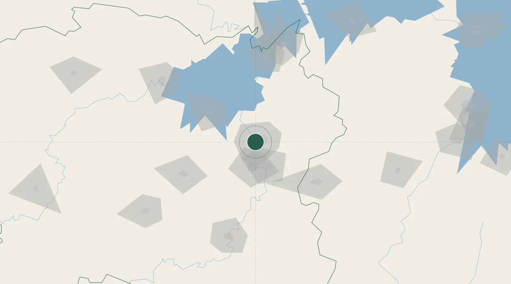
Location
Nearby Logistics Neighbours
Ports
- 1Hankow293 km
- 2Guangzhou566 km
- 3Huangpu571 km
- 4Huangpuxingang575 km
- 5Huizhou629 km
Airports
DatabookThe Record of Consolidated Knowledge
China beyond logistics?