Transport Functions
Port
Road
Hub Profile
Place type
Provincial seat
Region
Hunan
Population
959,303
Time zone
Asia/Shanghai
Elevation
31 m
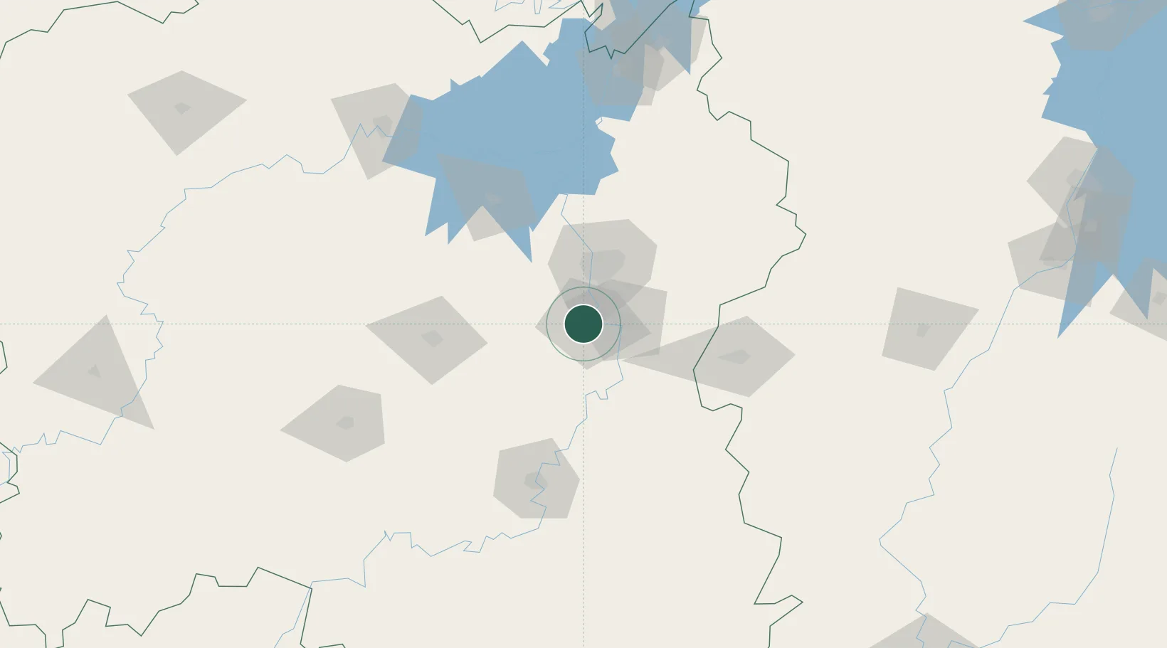
Location
Nearby Logistics Neighbours
Ports
- 1Hankow332 km
- 2Guangzhou527 km
- 3Huangpu533 km
- 4Huangpuxingang537 km
- 5Huizhou594 km
Airports
DatabookThe Record of Consolidated Knowledge
China beyond logistics?