Diversified Zone · China

Pingxiang Economic Development Zone Active
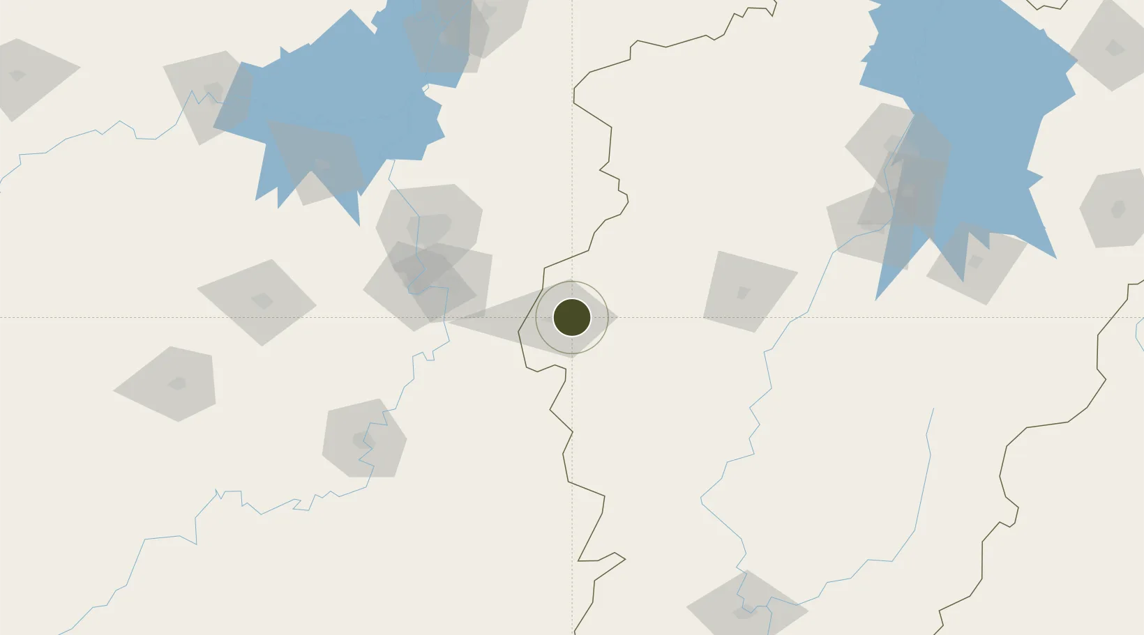
27.6617°, 113.8883°
2,600 ha
Zone area
327.1 km
Nearest port
44.0 km
Nearest airport

Gateway access

Nearest neighbours — logibook spatial index (haversine) over the source coordinates

Zone profile

Zone type
Diversified Zone
Open Zone Map
Region
Jiangxi
Open Zone Map
Status
Active
Open Zone Map
Management
Public
Open Zone Map
Operator
Pingxiang Economic Development Zone Management committee
Open Zone Map
Legal framework
Founded in 1993, 1995 approved by the provincial government as a provincial development zone
Open Zone Map

Location

Location of ozm-859
Natural Earth 10m (public domain) · Jiangxi · ozm-859 · 27.66, 113.89GoogleOSMYandex

Nearby Logistics Neighbours

Ports
  1. 1Hankow327 km
  2. 2Guangzhou510 km
  3. 3Huangpu511 km
  4. 4Huangpuxingang514 km
  5. 5Zhangzhou539 km
Nearest neighbours — logibook spatial index (haversine) over the source coordinates
Airports
  1. 1Yichun Mingyueshan Airport44 km
  2. 2Changsha Huanghua International Airport88 km
  3. 3Changsha Datuopu Airport / Changsha Air Base102 km
  4. 4Jinggangshan Airport123 km
  5. 5Ningxiang Airport131 km
Nearest neighbours — logibook spatial index (haversine) over the source coordinates
Cities
  1. 1Liling40 km
  2. 2Zhuzhou76 km
  3. 3Xiangtan100 km
  4. 4Xinyu104 km
  5. 5Changsha107 km
Nearest neighbours — logibook spatial index (haversine) over the source coordinates
Trade Zones
  1. 1Liling Economic Development Zone42 km
  2. 2Yichun Economic Development Zone58 km
  3. 3Lianhua Industrial Park64 km
  4. 4Hetang Industrial Concentration Zone71 km
  5. 5Fenyi Industrial Park78 km
Nearest neighbours — logibook spatial index (haversine) over the source coordinates
DatabookThe Record of Consolidated Knowledge
China beyond logistics?
Browse databook

All Sources

Trade ZonesOpen Zone Map
CC BY
Portsthe NGA World Port Index
Public domain (US gov)
AirportsOurAirports
Public domain
LocationsUN/LOCODE
UN/LOCODE — free
← China trade zones