Runway & Layout

Airport Specifications
Airport class
Medium airport
Scheduled service
No
Served city
Nanchang
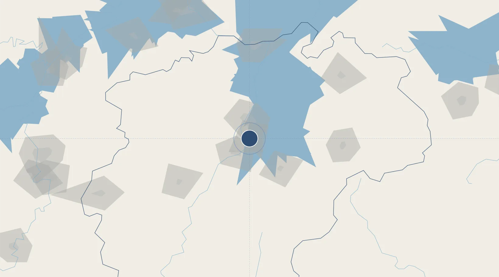
Location
Nearby Logistics Neighbours
Airports
- 1Nanchang Changbei International Airport49 km
- 2Zhangshu Air Base57 km
- 3Jiujiang Lushan Airport118 km
- 4Jingdezhen Luojia Airport159 km
- 5Yichun Mingyueshan Airport173 km
Cities
- 1Fuzhou49 km
- 2Yingtan111 km
- 3Xinyu119 km
- 4Jiujiang145 km
- 5Jingdezhen158 km
Trade Zones
DatabookThe Record of Consolidated Knowledge
China beyond logistics?