Transport Functions
Port
Multimodal
Hub Profile
Region
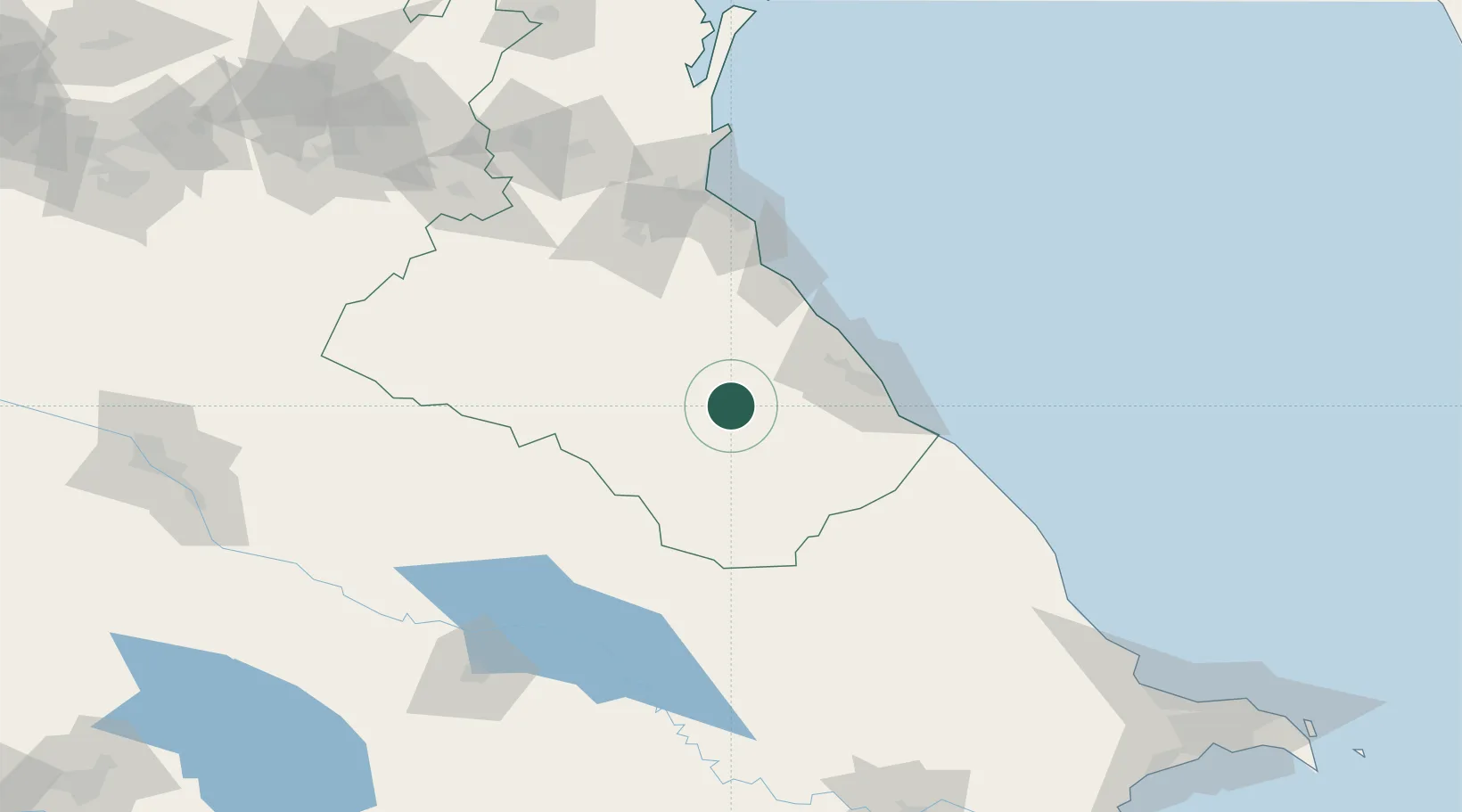
XAC
Location
Nearby Logistics Neighbours
Cities
- 1Yalama86 km
- 2Lagodekhi109 km
- 3Makhachkala110 km
- 4Kvareli148 km
- 5Kakheti157 km
Ports
- 1Supsa Marine Terminal485 km
- 2Batumi493 km
- 3Hopa517 km
- 4Sokhumi552 km
- 5Rize597 km
Airports
Trade Zones
DatabookThe Record of Consolidated Knowledge
Azerbaijan beyond logistics?