Export Processing Zone · China

Pucheng Industrial Park Active
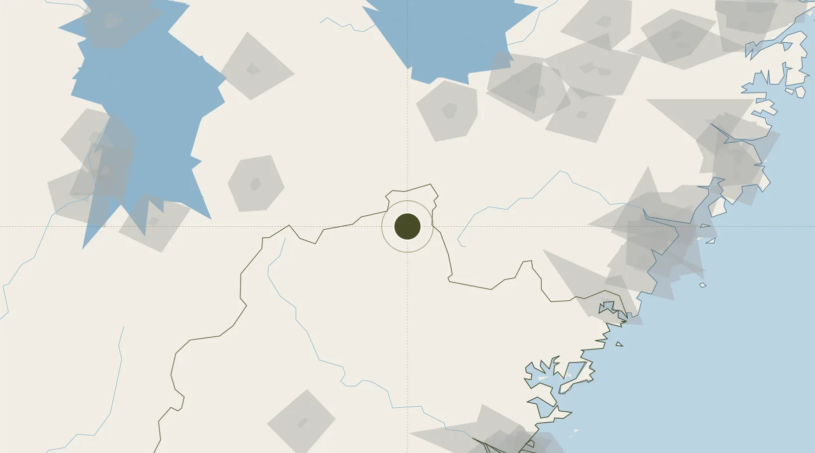
27.9617°, 118.5377°
666 ha
Zone area
207.5 km
Nearest port
60.2 km
Nearest airport

Gateway access

Nearest neighbours — logibook spatial index (haversine) over the source coordinates

Zone profile

Zone type
Export Processing Zone
Open Zone Map
Region
Fujian
Open Zone Map
Status
Active
Open Zone Map
Management
Public
Open Zone Map
Operator
Working Committee of Pucheng Industrial Park
Open Zone Map
Legal framework
General Plan of Pucheng High-tech Industrial Development Zone (2017-2030)
Open Zone Map

Location

Location of ozm-1197
Natural Earth 10m (public domain) · Fujian · ozm-1197 · 27.96, 118.54GoogleOSMYandex

Nearby Logistics Neighbours

Ports
  1. 1Wenzhou208 km
  2. 2Fuzhou222 km
  3. 3Haimen296 km
  4. 4Xiuyu307 km
  5. 5Quanzhou342 km
Nearest neighbours — logibook spatial index (haversine) over the source coordinates
Airports
  1. 1Nanping Wuyishan Airport60 km
  2. 2Shangrao Sanqingshan Airport73 km
  3. 3Quzhou Airport117 km
  4. 4Jiande Qiandaohu General Airport168 km
  5. 5Sanming Shaxian Airport184 km
Nearest neighbours — logibook spatial index (haversine) over the source coordinates
Cities
  1. 1Quzhou123 km
  2. 2Nanping126 km
  3. 3Yingtan150 km
  4. 4Saiqi158 km
  5. 5Jinhua163 km
Nearest neighbours — logibook spatial index (haversine) over the source coordinates
Trade Zones
  1. 1Songxi Economic Development Zone53 km
  2. 2Zhenghe Economic Development Zone73 km
  3. 3Yushan Economic Development Zone86 km
  4. 4Jianou Industrial Park103 km
  5. 5Quzhou Economic and Technological Development Zone104 km
Nearest neighbours — logibook spatial index (haversine) over the source coordinates
DatabookThe Record of Consolidated Knowledge
China beyond logistics?
Browse databook

All Sources

Trade ZonesOpen Zone Map
CC BY
Portsthe NGA World Port Index
Public domain (US gov)
AirportsOurAirports
Public domain
LocationsUN/LOCODE
UN/LOCODE — free
← China trade zones