Medium airport · China
Quzhou AirportZSJU
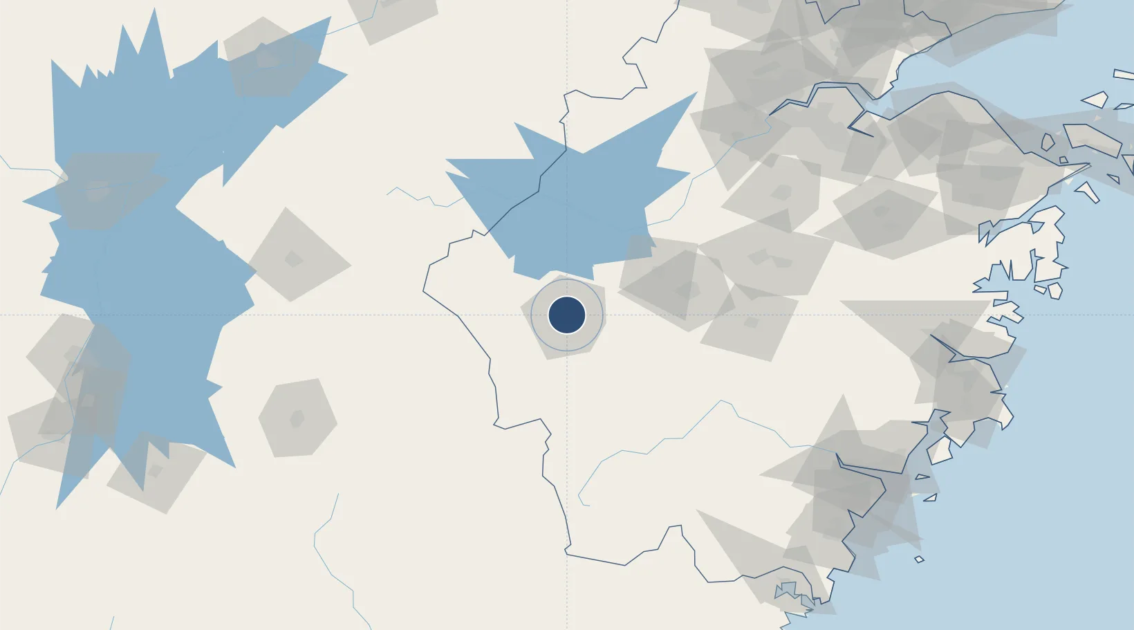
28.9661°, 118.8988°
6,234 ft
Longest runway
1
Runways
213 ft
Elevation
Runway & Layout

Runways · 1
| Runway | Dimensions | Surface | True heading | Lit |
|---|---|---|---|---|
| 06/24 | 6,234 × —ft | — | — | ✓ |
Airport Specifications
IATA code
JUZ
ICAO code
ZSJU
Airport class
Medium airport
Scheduled service
Yes
Served city
Quzhou (Kezheng)
Location
Nearby Logistics Neighbours
Airports
- 1Jiande Qiandaohu General Airport52 km
- 2Huangshan Tunxi International Airport106 km
- 3Shangrao Sanqingshan Airport112 km
- 4Yiwu Airport118 km
- 5Nanping Wuyishan Airport166 km
DatabookThe Record of Consolidated Knowledge
China beyond logistics?