Free Trade Zone · China

Panshi Economic Development Zone Active
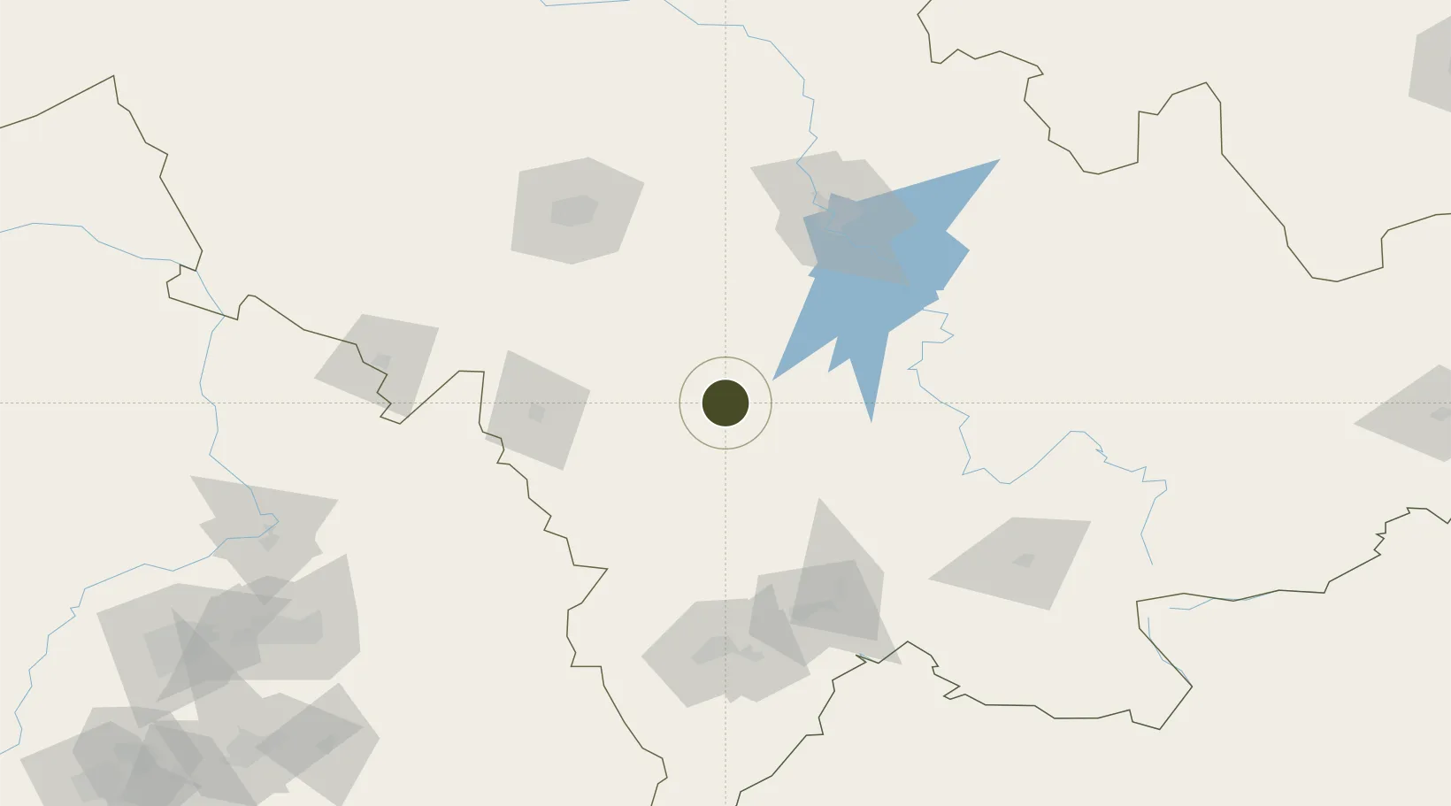
42.9513°, 126.0512°
700 ha
Zone area
336.2 km
Nearest port
103.7 km
Nearest airport

Gateway access

Nearest neighbours — logibook spatial index (haversine) over the source coordinates

Zone profile

Zone type
Free Trade Zone
Open Zone Map
Region
Jilin
Open Zone Map
Status
Active
Open Zone Map
Management
Public
Open Zone Map
Operator
Working Committee of Panshi Economic Development Zone
Open Zone Map
Legal framework
2019 Panshi City Master Plan (2010-2030)
Open Zone Map

Location

Location of ozm-1525
Natural Earth 10m (public domain) · Jilin · ozm-1525 · 42.95, 126.05GoogleOSMYandex

Nearby Logistics Neighbours

Ports
  1. 1Ch'ongjin336 km
  2. 2Najin357 km
  3. 3Kimch'aek364 km
  4. 4Hungnam371 km
  5. 5Dandong383 km
Nearest neighbours — logibook spatial index (haversine) over the source coordinates
Airports
  1. 1Tonghua Sanyuanpu Airport104 km
  2. 2Changchun Longjia International Airport120 km
  3. 3Gongzhuling Air Base121 km
  4. 4Changchun Air Base127 km
  5. 5Siping Air Base145 km
Nearest neighbours — logibook spatial index (haversine) over the source coordinates
Cities
  1. 1Liaoyuan75 km
  2. 2Jiashan88 km
  3. 3Baishan117 km
  4. 4Changchun121 km
  5. 5Quanyang140 km
Nearest neighbours — logibook spatial index (haversine) over the source coordinates
Trade Zones
  1. 1Meihekou Economic Development Zone49 km
  2. 2Dongfeng Economic Development Zone51 km
  3. 3Huadian Economic Development Zone56 km
  4. 4LiaoYuan Private Economy Development Zone71 km
  5. 5Liaoyuan Economic Development Zone71 km
Nearest neighbours — logibook spatial index (haversine) over the source coordinates
DatabookThe Record of Consolidated Knowledge
China beyond logistics?
Browse databook

All Sources

Trade ZonesOpen Zone Map
CC BY
Portsthe NGA World Port Index
Public domain (US gov)
AirportsOurAirports
Public domain
LocationsUN/LOCODE
UN/LOCODE — free
← China trade zones