Transport Functions
Road
Multimodal
Hub Profile
Place type
Populated place
Region
Jilin
Time zone
Asia/Shanghai
Elevation
246 m
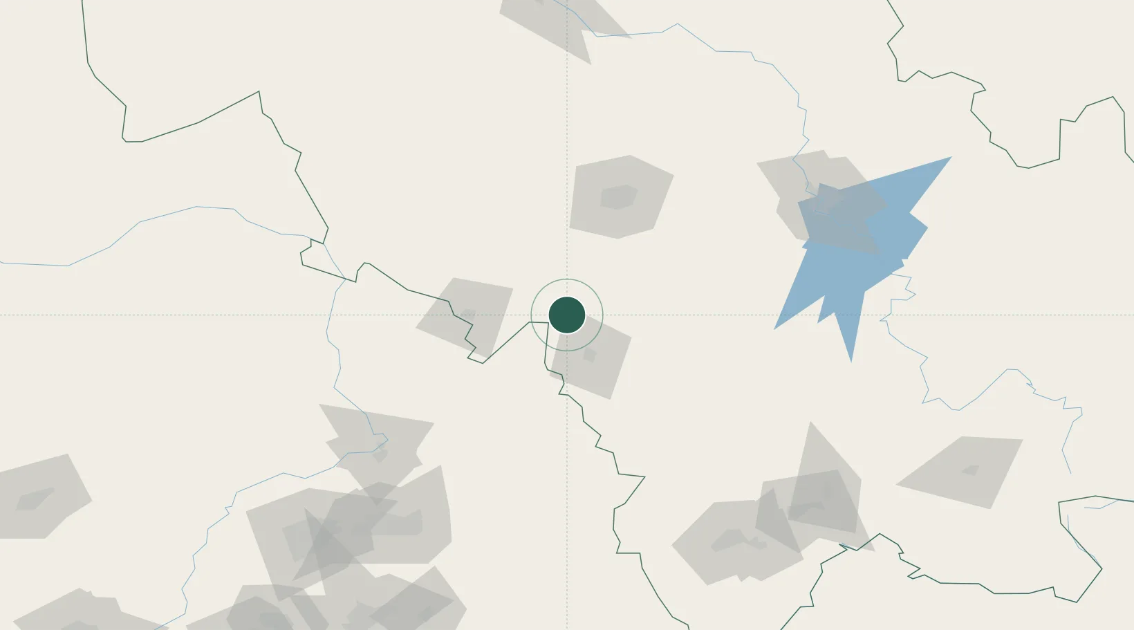
Location
Nearby Logistics Neighbours
Ports
- 1Yingkou357 km
- 2Dandong377 km
- 3Bayuquan399 km
- 4Jinzhou Wan419 km
- 5Ch'ongjin424 km
Airports
- 1Gongzhuling Air Base45 km
- 2Siping Air Base57 km
- 3Changchun Air Base86 km
- 4Kaiyuan Air Base108 km
- 5Changchun Longjia International Airport109 km
DatabookThe Record of Consolidated Knowledge
China beyond logistics?