Transport Functions
Multimodal
Hub Profile
Place type
Populated place
Time zone
Asia/Tbilisi
Elevation
1,130 m
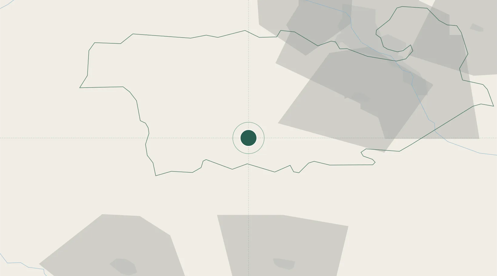
Location
Nearby Logistics Neighbours
Cities
- 1Rustavi59 km
- 2Mtskheta64 km
- 3Kaspi65 km
- 4Vaziani71 km
- 5Akhalkalaki74 km
Ports
- 1Batumi228 km
- 2Supsa Marine Terminal235 km
- 3Hopa246 km
- 4Rize322 km
- 5Sokhumi334 km
Airports
- 1Tbilisi Marneuli Air Base40 km
- 2Tbilisi Soganlug Air Base61 km
- 3Tbilisi International Airport64 km
- 4Vaziani Air Base67 km
- 5Natakhtari Airfield74 km
Trade Zones
- 1Tbilisi Free Industrial Zone70 km
- 2Gyumri Eurasian Logistic Park75 km
- 3Ecos Free Economic Zone91 km
- 4Jrvezh Engineering City126 km
- 5Alliance Free Zone126 km
DatabookThe Record of Consolidated Knowledge
Georgia beyond logistics?