Diversified Zone · Honduras

Altia Smart City Active
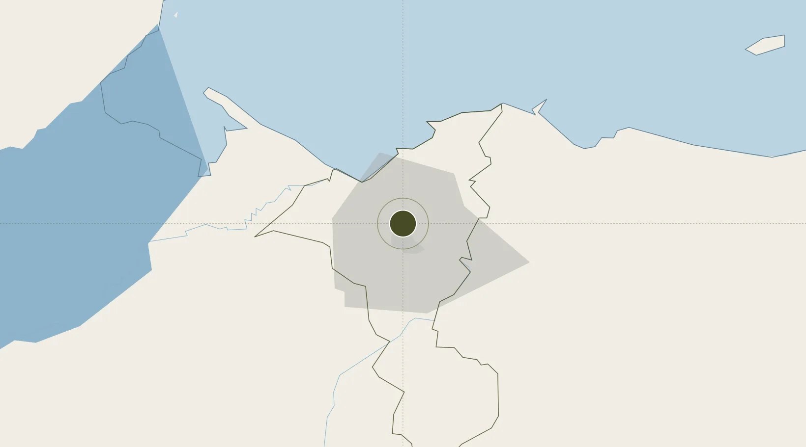
15.5612°, -88.0222°
6 ha
Zone area
31.2 km
Nearest port
16.0 km
Nearest airport

Gateway access

Nearest neighbours — logibook spatial index (haversine) over the source coordinates

Zone profile

Zone type
Diversified Zone
Open Zone Map
Specialization
IT
Open Zone Map
Region
Cortés
Open Zone Map
Status
Active
Open Zone Map
Management
Private
Open Zone Map
Operator
Grupo Karims
Open Zone Map
Legal framework
Law of Industrial Zones of Processing for Exports - Decree No 131-98
Open Zone Map

Location

Location of ozm-5228
Natural Earth 10m (public domain) · Cortés · ozm-5228 · 15.56, -88.02GoogleOSMYandex

Nearby Logistics Neighbours

Ports
  1. 1Puerto Cortes31 km
  2. 2Puerto Barrios65 km
  3. 3Santo Tomas De Castilla66 km
  4. 4Tela66 km
  5. 5Big Creek114 km
Nearest neighbours — logibook spatial index (haversine) over the source coordinates
Airports
  1. 1Ramón Villeda Morales International Airport16 km
  2. 2Puerto Barrios Airport63 km
  3. 3Tela Airport63 km
  4. 4Punta Gorda Airport103 km
  5. 5Big Creek Airport114 km
Nearest neighbours — logibook spatial index (haversine) over the source coordinates
Cities
  1. 1San Pedro Sula10 km
  2. 2Chamelecón14 km
  3. 3Rio Bijao20 km
  4. 4Búfalo20 km
  5. 5Cuyamel22 km
Nearest neighbours — logibook spatial index (haversine) over the source coordinates
Trade Zones
  1. 1ZOLI Honduras Free Zone8 km
  2. 2ZOLI America Free Zone8 km
  3. 3ZOLI Indhelva Free Zone8 km
  4. 4ZIP Choloma Free Zone8 km
  5. 5ZIP San José9 km
Nearest neighbours — logibook spatial index (haversine) over the source coordinates
DatabookThe Record of Consolidated Knowledge
Honduras beyond logistics?
Browse databook

All Sources

Trade ZonesOpen Zone Map
CC BY
Portsthe NGA World Port Index
Public domain (US gov)
AirportsOurAirports
Public domain
LocationsUN/LOCODE
UN/LOCODE — free
← Honduras trade zones