Specialized Zone · Zimbabwe

Nkonyeni Agricultural Hub SEZ Under Development
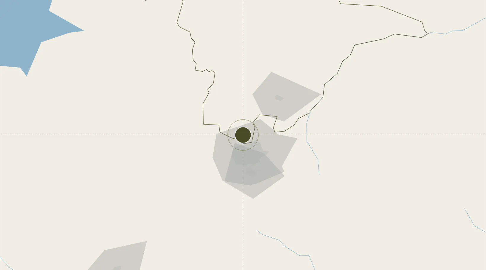
-17.6570°, 30.9972°
70 ha
Zone area
470.8 km
Nearest port
32.2 km
Nearest airport

Gateway access

Nearest neighbours — logibook spatial index (haversine) over the source coordinates

Zone profile

Zone type
Specialized Zone
Open Zone Map
Specialization
Agriculture
Open Zone Map
Region
Mashonaland Central
Open Zone Map
Status
Under Development
Open Zone Map
Management
Private
Open Zone Map
Operator
Nkonyeni Agriculture Pvt. Ltd.
Open Zone Map
Legal framework
Zimbabwe Investment and Development Agency Act
Open Zone Map

Location

Location of ozm-5224
Natural Earth 10m (public domain) · Mashonaland Central · ozm-5224 · -17.66, 31.00GoogleOSMYandex

Nearby Logistics Neighbours

Ports
  1. 1Beira471 km
  2. 2Chinde590 km
  3. 3Quelimane624 km
  4. 4Porto Belo655 km
  5. 5Pebane760 km
Nearest neighbours — logibook spatial index (haversine) over the source coordinates
Airports
  1. 1Robert Gabriel Mugabe International Airport32 km
  2. 2Mutoko Airport128 km
  3. 3Josiah Tungamirai Air Force Base231 km
  4. 4Kariba Airport258 km
  5. 5Masvingo International Airport267 km
Nearest neighbours — logibook spatial index (haversine) over the source coordinates
Cities
  1. 1Marlborough25 km
  2. 2Norton40 km
  3. 3Chegutu104 km
  4. 4Mutoko132 km
  5. 5Rusape153 km
Nearest neighbours — logibook spatial index (haversine) over the source coordinates
Trade Zones
  1. 1Berhard Diamond & Jewellery Park16 km
  2. 2Workington Tradekings Special Economic Zone22 km
  3. 3Sunway City Special Economic Zone32 km
  4. 4Arcadia Lithium Project Special Economic Zone37 km
  5. 5Norton Special Economic Zone39 km
Nearest neighbours — logibook spatial index (haversine) over the source coordinates
DatabookThe Record of Consolidated Knowledge
Zimbabwe beyond logistics?
Browse databook

All Sources

Trade ZonesOpen Zone Map
CC BY
Portsthe NGA World Port Index
Public domain (US gov)
AirportsOurAirports
Public domain
LocationsUN/LOCODE
UN/LOCODE — free
← Zimbabwe trade zones