Export Processing Zone · Vietnam

Tu Son Industrial Estate Active
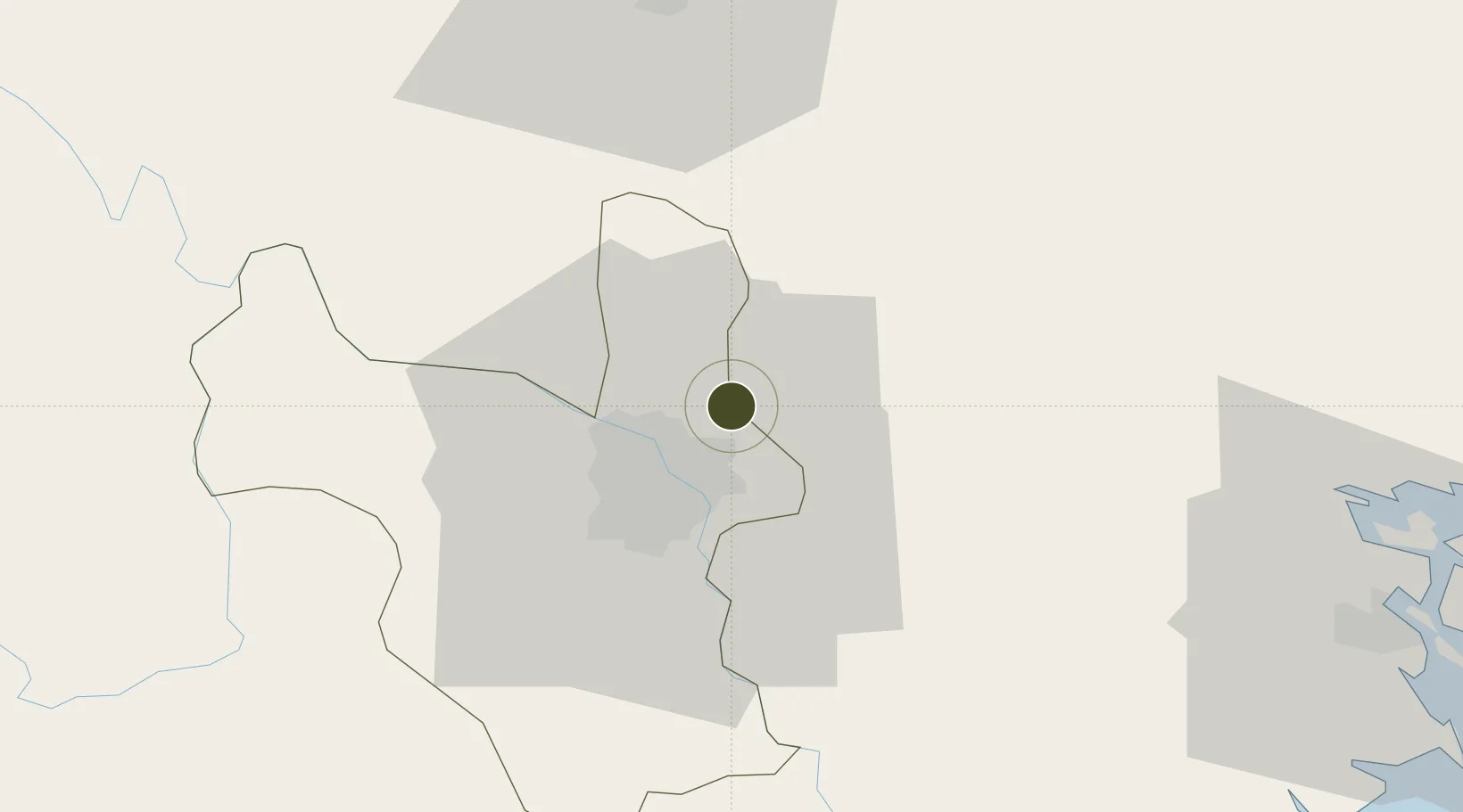
21.1188°, 105.9255°
300 ha
Zone area
81.8 km
Nearest port
9.6 km
Nearest airport

Gateway access

Nearest neighbours — logibook spatial index (haversine) over the source coordinates

Zone profile

Zone type
Export Processing Zone
Open Zone Map
Region
Ha Noi
Open Zone Map
Status
Active
Open Zone Map
Management
Public-Private Partnership
Open Zone Map
Operator
Nam Hong Company (VN) & Jababeka Corporation (Indonesia)
Open Zone Map
Legal framework
Decree No.82/2018/ND-CP on Management of Industrial Parks and Economic Zones, Decree No 218/2013/ND-CP
Open Zone Map

Location

Location of ozm-5165
Natural Earth 10m (public domain) · Ha Noi · ozm-5165 · 21.12, 105.93GoogleOSMYandex

Nearby Logistics Neighbours

Ports
  1. 1Hai Phong82 km
  2. 2Hon Gai120 km
  3. 3Cam Pha150 km
  4. 4Fang-Cheng261 km
  5. 5Nghe Tinh262 km
Nearest neighbours — logibook spatial index (haversine) over the source coordinates
Airports
  1. 1Gia Lam Air Base10 km
  2. 2Noi Bai International Airport17 km
  3. 3Cat Bi International Airport90 km
  4. 4Tho Xuan Airport144 km
  5. 5Van Don International Airport155 km
Nearest neighbours — logibook spatial index (haversine) over the source coordinates
Cities
  1. 1Hanoi7 km
  2. 2Luong Tai27 km
  3. 3Thái Nguyên48 km
  4. 4Hoa Lac50 km
  5. 5Hoa Mac55 km
Nearest neighbours — logibook spatial index (haversine) over the source coordinates
Trade Zones
  1. 1Hanaka Industrial Estate3 km
  2. 2Ninh Hiep Industrial Estate6 km
  3. 3Vsip Bac Ninh Industrial Zone6 km
  4. 4Đại Đồng - Hoàn Sơn Industrial Zone8 km
  5. 5Tien Son Industrial Zone8 km
Nearest neighbours — logibook spatial index (haversine) over the source coordinates
DatabookThe Record of Consolidated Knowledge
Vietnam beyond logistics?
Browse databook

All Sources

Trade ZonesOpen Zone Map
CC BY
Portsthe NGA World Port Index
Public domain (US gov)
AirportsOurAirports
Public domain
LocationsUN/LOCODE
UN/LOCODE — free
← Vietnam trade zones