Industrial Zone · Vietnam

Yen Phong Industrial Zone Under Development
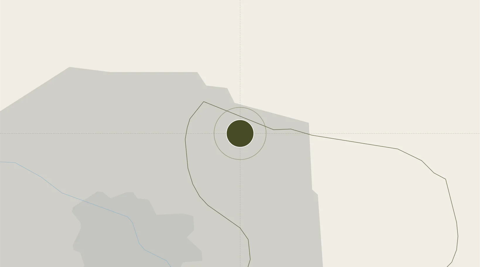
21.2006°, 105.9981°
344 ha
Zone area
77.8 km
Nearest port
19.9 km
Nearest airport

Gateway access

Nearest neighbours — logibook spatial index (haversine) over the source coordinates

Zone profile

Zone type
Industrial Zone
the World Bank SEZ database
Region
Bắc Ninh
the World Bank SEZ database
Status
Under Development
the World Bank SEZ database
Established
2006
the World Bank SEZ database
Management
State-owned enterprise
the World Bank SEZ database
Operator
Viglacera Corporation
the World Bank SEZ database
Regulatory authority
Chairmen of Provincial People's Committees
the World Bank SEZ database
Legal framework
Law on Foreign Investment in Vietnam, 1996; Decree No. 36/1997/CP on The Regulation of Industrial, Economic and Export processing zones
the World Bank SEZ database

Location

Location of VNM64
Natural Earth 10m (public domain) · Bắc Ninh · VNM64 · 21.20, 106.00GoogleOSMYandex

Fiscal & incentives

Corporate tax
20%
the World Bank SEZ database
Tax relief
100% exempt
the World Bank SEZ database
Relief duration
4 years
the World Bank SEZ database
VAT
No exemption
the World Bank SEZ database
Import duty (inputs)
0% exempt
the World Bank SEZ database
Import duty (capex)
100% exempt
the World Bank SEZ database
Profit repatriation
No exemption
the World Bank SEZ database
Capital gains
No exemption
the World Bank SEZ database
Withholding tax
No exemption
the World Bank SEZ database
Min. investment
None
the World Bank SEZ database
Min. export
0%
the World Bank SEZ database
Employment incentive
No exemption
the World Bank SEZ database
Developer incentive
No established framework
the World Bank SEZ database

Nearby Logistics Neighbours

Ports
  1. 1Hai Phong78 km
  2. 2Hon Gai114 km
  3. 3Cam Pha143 km
  4. 4Fang-Cheng251 km
  5. 5Nghe Tinh272 km
Nearest neighbours — logibook spatial index (haversine) over the source coordinates
Airports
  1. 1Noi Bai International Airport20 km
  2. 2Gia Lam Air Base21 km
  3. 3Cat Bi International Airport87 km
  4. 4Van Don International Airport147 km
  5. 5Tho Xuan Airport155 km
Nearest neighbours — logibook spatial index (haversine) over the source coordinates
Cities
  1. 1Hanoi8 km
  2. 2Luong Tai30 km
  3. 3Thái Nguyên41 km
  4. 4Gia Lam53 km
  5. 5Hoa Lac55 km
Nearest neighbours — logibook spatial index (haversine) over the source coordinates
Trade Zones
  1. 1Yen Phong Ii Industrial Estate6 km
  2. 2Tien Son Industrial Zone9 km
  3. 3Hanaka Industrial Estate10 km
  4. 4Đại Đồng - Hoàn Sơn Industrial Zone11 km
  5. 5Tu Son Industrial Estate12 km
Nearest neighbours — logibook spatial index (haversine) over the source coordinates
DatabookThe Record of Consolidated Knowledge
Vietnam beyond logistics?
Browse databook

All Sources

Trade Zonesthe World Bank SEZ database
CC BY 4.0
Portsthe NGA World Port Index
Public domain (US gov)
AirportsOurAirports
Public domain
LocationsUN/LOCODE
UN/LOCODE — free
← Vietnam trade zones