Export Processing Zone · Vietnam

Hanaka Industrial Estate Active
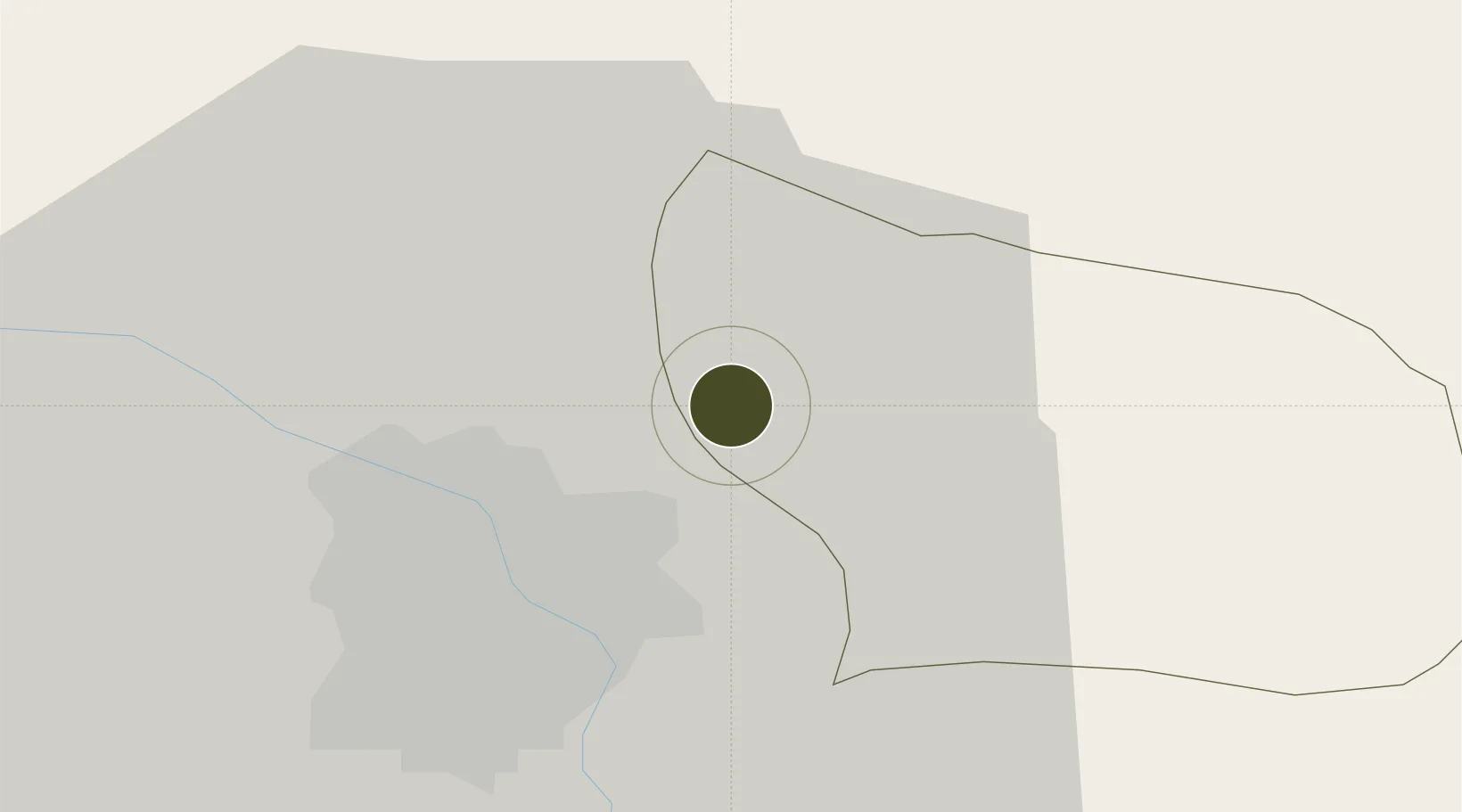
21.1246°, 105.9560°
74 ha
Zone area
79.0 km
Nearest port
11.8 km
Nearest airport

Gateway access

Nearest neighbours — logibook spatial index (haversine) over the source coordinates

Zone profile

Zone type
Export Processing Zone
Open Zone Map
Region
Bắc Ninh
Open Zone Map
Status
Active
Open Zone Map
Management
Public-Private Partnership
Open Zone Map
Operator
Hanaka Group, Bac Ninh Industrial Zones Authority
Open Zone Map
Legal framework
Decree No.82/2018/ND-CP on Management of Industrial Parks and Economic Zones, Decree No 218/2013/ND-CP
Open Zone Map

Location

Location of ozm-5144
Natural Earth 10m (public domain) · Bắc Ninh · ozm-5144 · 21.12, 105.96GoogleOSMYandex

Nearby Logistics Neighbours

Ports
  1. 1Hai Phong79 km
  2. 2Hon Gai117 km
  3. 3Cam Pha147 km
  4. 4Fang-Cheng257 km
  5. 5Nghe Tinh263 km
Nearest neighbours — logibook spatial index (haversine) over the source coordinates
Airports
  1. 1Gia Lam Air Base12 km
  2. 2Noi Bai International Airport19 km
  3. 3Cat Bi International Airport87 km
  4. 4Tho Xuan Airport145 km
  5. 5Van Don International Airport151 km
Nearest neighbours — logibook spatial index (haversine) over the source coordinates
Cities
  1. 1Hanoi4 km
  2. 2Luong Tai25 km
  3. 3Thái Nguyên48 km
  4. 4Hoa Lac53 km
  5. 5Hoa Mac55 km
Nearest neighbours — logibook spatial index (haversine) over the source coordinates
Trade Zones
  1. 1Tu Son Industrial Estate3 km
  2. 2Tien Son Industrial Zone4 km
  3. 3Đại Đồng - Hoàn Sơn Industrial Zone5 km
  4. 4Vsip Bac Ninh Industrial Zone5 km
  5. 5Ninh Hiep Industrial Estate6 km
Nearest neighbours — logibook spatial index (haversine) over the source coordinates
DatabookThe Record of Consolidated Knowledge
Vietnam beyond logistics?
Browse databook

All Sources

Trade ZonesOpen Zone Map
CC BY
Portsthe NGA World Port Index
Public domain (US gov)
AirportsOurAirports
Public domain
LocationsUN/LOCODE
UN/LOCODE — free
← Vietnam trade zones