Export Processing Zone · Vietnam

Vsip Industrial Park - Nghe An Active
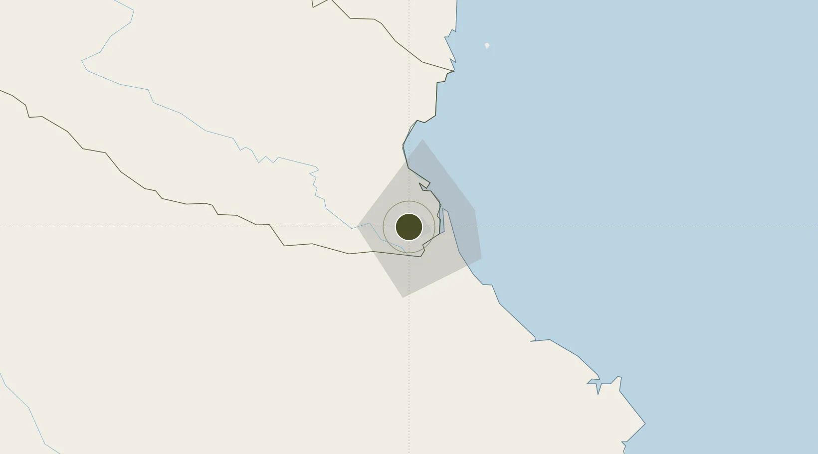
18.6891°, 105.6375°
750 ha
Zone area
16.1 km
Nearest port
6.4 km
Nearest airport

Gateway access

Nearest neighbours — logibook spatial index (haversine) over the source coordinates

Zone profile

Zone type
Export Processing Zone
Open Zone Map
Region
Nghệ An
Open Zone Map
Status
Active
Open Zone Map
Management
Private
Open Zone Map
Operator
VSIP Nghe An Company Ltd.
Open Zone Map
Legal framework
Decree No.82/2018/ND-CP on Management of Industrial Parks and Economic Zones, Decree No 218/2013/ND-CP
Open Zone Map

Location

Location of ozm-5169
Natural Earth 10m (public domain) · Nghệ An · ozm-5169 · 18.69, 105.64GoogleOSMYandex

Nearby Logistics Neighbours

Ports
  1. 1Nghe Tinh16 km
  2. 2Hai Phong271 km
  3. 3Hon Gai293 km
  4. 4Basuo317 km
  5. 5Cam Pha317 km
Nearest neighbours — logibook spatial index (haversine) over the source coordinates
Airports
  1. 1Vinh Airport6 km
  2. 2Tho Xuan Airport136 km
  3. 3Dong Hoi Airport165 km
  4. 4Nakhon Phanom Airport179 km
  5. 5Sakon Nakhon Airport231 km
Nearest neighbours — logibook spatial index (haversine) over the source coordinates
Cities
  1. 1Vinh6 km
  2. 2Van Lâm13 km
  3. 3Culao14 km
  4. 4Cua Lo16 km
  5. 5Rao Qua43 km
Nearest neighbours — logibook spatial index (haversine) over the source coordinates
Trade Zones
  1. 1Bac Vinh Industrial Park2 km
  2. 2Đông Nam Nghê An Coastal Economic Zone5 km
  3. 3Wha Industrial Zone 1 - Nghe An14 km
  4. 4Nam Cam Industrial Park15 km
  5. 5Hoàng Mai Mai Industrial Zone65 km
Nearest neighbours — logibook spatial index (haversine) over the source coordinates
DatabookThe Record of Consolidated Knowledge
Vietnam beyond logistics?
Browse databook

All Sources

Trade ZonesOpen Zone Map
CC BY
Portsthe NGA World Port Index
Public domain (US gov)
AirportsOurAirports
Public domain
LocationsUN/LOCODE
UN/LOCODE — free
← Vietnam trade zones