Transport Functions
Port
Road
Hub Profile
Place type
Populated place
Region
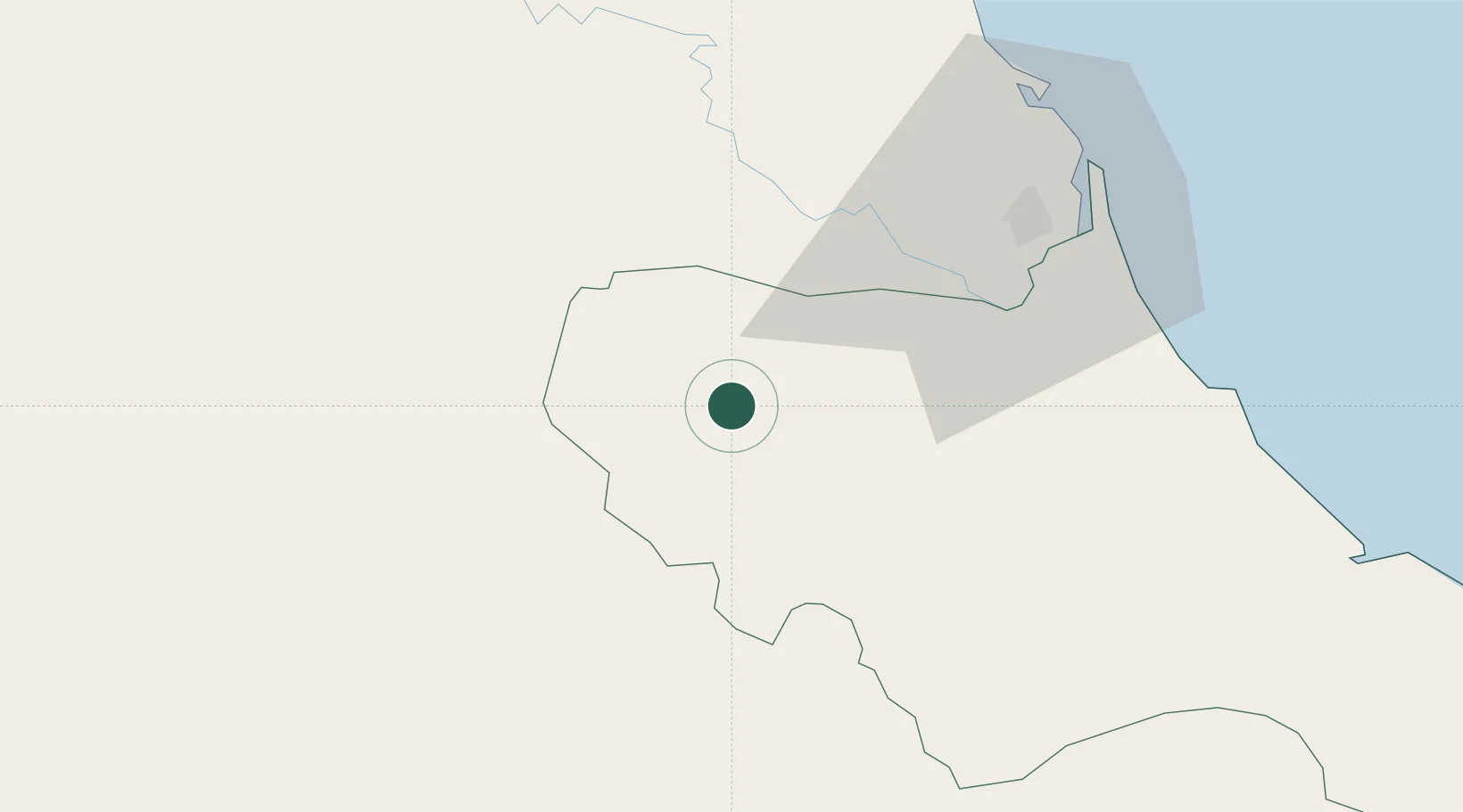
Hà Tĩnh Province
Time zone
Asia/Bangkok
Elevation
36 m
Location
Nearby Logistics Neighbours
Airports
- 1Vinh Airport49 km
- 2Nakhon Phanom Airport138 km
- 3Tho Xuan Airport162 km
- 4Dong Hoi Airport170 km
- 5Sakon Nakhon Airport189 km
Trade Zones
DatabookThe Record of Consolidated Knowledge
Vietnam beyond logistics?