Transport Functions
Multimodal
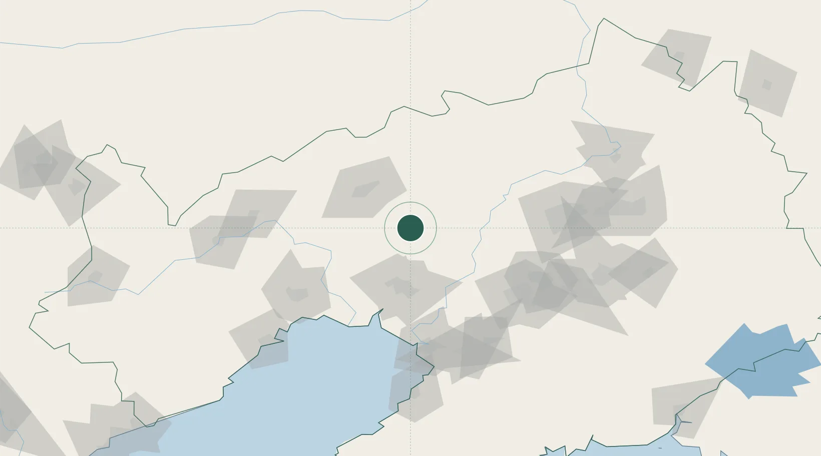
Hub Profile
Place type
Populated place
Region
Liaoning
Population
68,603
Time zone
Asia/Shanghai
Elevation
26 m
Location
Nearby Logistics Neighbours
Cities
- 1Beizhen42 km
- 2Goubangzi46 km
- 3Zhoutuozi63 km
- 4Dawa78 km
- 5Anshan Teng'ao Apt97 km
Ports
- 1Yingkou112 km
- 2Jinzhou Wan133 km
- 3Huludao Gang144 km
- 4Bayuquan154 km
- 5Dandong270 km
Airports
- 1Fuxin Air Base57 km
- 2Anshan Teng'ao Airport / Anshan Air Base90 km
- 3Shenyang Yuhong Quansheng Airport101 km
- 4Jinzhou Bay Airport108 km
- 5Shenyang Beiling Air Base113 km
DatabookThe Record of Consolidated Knowledge
China beyond logistics?