Export Processing Zone · Vietnam

Đại Kim Industrial Estate Active
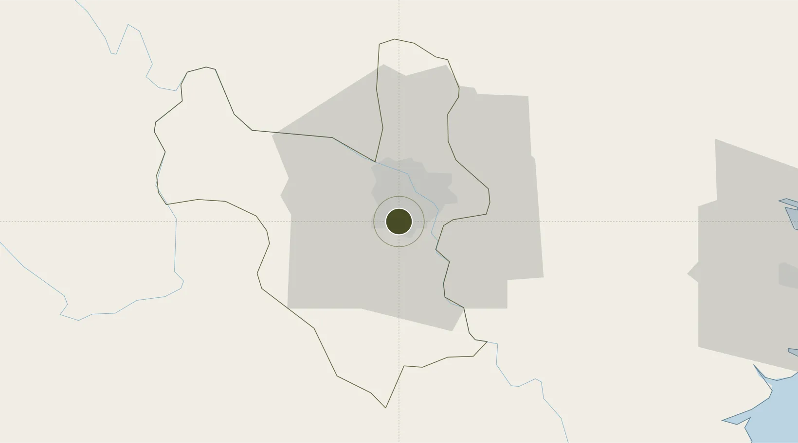
20.9750°, 105.8150°
508 ha
Zone area
90.4 km
Nearest port
10.4 km
Nearest airport

Gateway access

Nearest neighbours — logibook spatial index (haversine) over the source coordinates

Zone profile

Zone type
Export Processing Zone
Open Zone Map
Region
Ha Noi
Open Zone Map
Status
Active
Open Zone Map
Management
Public-Private Partnership
Open Zone Map
Operator
Ipavietnam Corporation
Open Zone Map
Legal framework
Decree No.82/2018/ND-CP on Management of Industrial Parks and Economic Zones, Decree No 218/2013/ND-CP
Open Zone Map

Location

Location of ozm-5139
Natural Earth 10m (public domain) · Ha Noi · ozm-5139 · 20.97, 105.81GoogleOSMYandex

Nearby Logistics Neighbours

Ports
  1. 1Hai Phong90 km
  2. 2Hon Gai130 km
  3. 3Cam Pha161 km
  4. 4Nghe Tinh246 km
  5. 5Fang-Cheng276 km
Nearest neighbours — logibook spatial index (haversine) over the source coordinates
Airports
  1. 1Gia Lam Air Base10 km
  2. 2Noi Bai International Airport27 km
  3. 3Cat Bi International Airport96 km
  4. 4Tho Xuan Airport125 km
  5. 5Van Don International Airport167 km
Nearest neighbours — logibook spatial index (haversine) over the source coordinates
Cities
  1. 1Hanoi25 km
  2. 2Luong Tai33 km
  3. 3Hoa Mac43 km
  4. 4Hoa Lac47 km
  5. 5Phu Lý50 km
Nearest neighbours — logibook spatial index (haversine) over the source coordinates
Trade Zones
  1. 1Nguyen Duc Canh Industrial Park4 km
  2. 2Phia Tay Thanh Pho Hai Industrial Estate7 km
  3. 3Sai Dong B Industrial Park11 km
  4. 4North Thuong Tin Industrial Park13 km
  5. 5Hanoi - Đại Từ Industrial Park13 km
Nearest neighbours — logibook spatial index (haversine) over the source coordinates
DatabookThe Record of Consolidated Knowledge
Vietnam beyond logistics?
Browse databook

All Sources

Trade ZonesOpen Zone Map
CC BY
Portsthe NGA World Port Index
Public domain (US gov)
AirportsOurAirports
Public domain
LocationsUN/LOCODE
UN/LOCODE — free
← Vietnam trade zones