Export Processing Zone · Vietnam

Phia Tay Thanh Pho Hai Industrial Estate Active
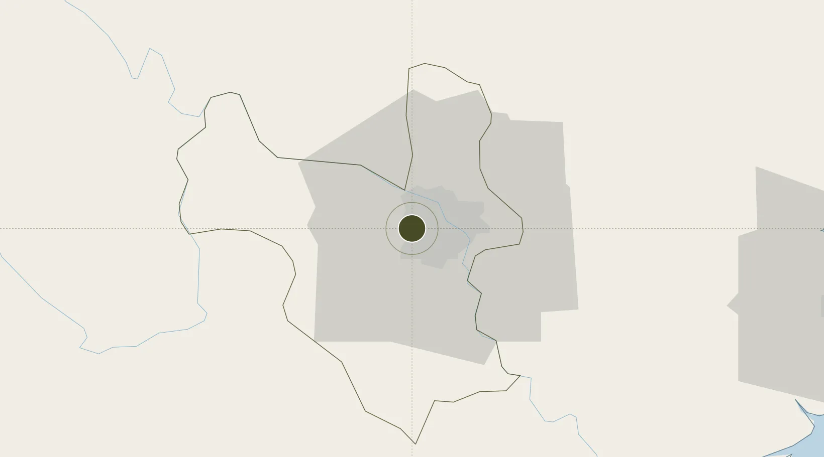
21.0241°, 105.7785°
57 ha
Zone area
94.7 km
Nearest port
11.3 km
Nearest airport

Gateway access

Nearest neighbours — logibook spatial index (haversine) over the source coordinates

Zone profile

Zone type
Export Processing Zone
Open Zone Map
Region
Ha Noi
Open Zone Map
Status
Active
Open Zone Map
Management
Public-Private Partnership
Open Zone Map
Operator
Nam Tai International Limited Company
Open Zone Map
Legal framework
Decree No.82/2018/ND-CP on Management of Industrial Parks and Economic Zones, Decree No 218/2013/ND-CP
Open Zone Map

Location

Location of ozm-5157
Natural Earth 10m (public domain) · Ha Noi · ozm-5157 · 21.02, 105.78GoogleOSMYandex

Nearby Logistics Neighbours

Ports
  1. 1Hai Phong95 km
  2. 2Hon Gai134 km
  3. 3Cam Pha165 km
  4. 4Nghe Tinh251 km
  5. 5Fang-Cheng278 km
Nearest neighbours — logibook spatial index (haversine) over the source coordinates
Airports
  1. 1Gia Lam Air Base11 km
  2. 2Noi Bai International Airport22 km
  3. 3Cat Bi International Airport101 km
  4. 4Tho Xuan Airport129 km
  5. 5Van Don International Airport170 km
Nearest neighbours — logibook spatial index (haversine) over the source coordinates
Cities
  1. 1Hanoi25 km
  2. 2Luong Tai37 km
  3. 3Hoa Lac41 km
  4. 4Hoa Mac49 km
  5. 5Phu Lý56 km
Nearest neighbours — logibook spatial index (haversine) over the source coordinates
Trade Zones
  1. 1Đại Kim Industrial Estate7 km
  2. 2Nguyen Duc Canh Industrial Park9 km
  3. 3The North Thang Long Industrial Park10 km
  4. 4Sai Dong B Industrial Park13 km
  5. 5Thach That - Quoc Oai Industrial Park15 km
Nearest neighbours — logibook spatial index (haversine) over the source coordinates
DatabookThe Record of Consolidated Knowledge
Vietnam beyond logistics?
Browse databook

All Sources

Trade ZonesOpen Zone Map
CC BY
Portsthe NGA World Port Index
Public domain (US gov)
AirportsOurAirports
Public domain
LocationsUN/LOCODE
UN/LOCODE — free
← Vietnam trade zones