Industrial Zone · Vietnam

North Thuong Tin Industrial Park
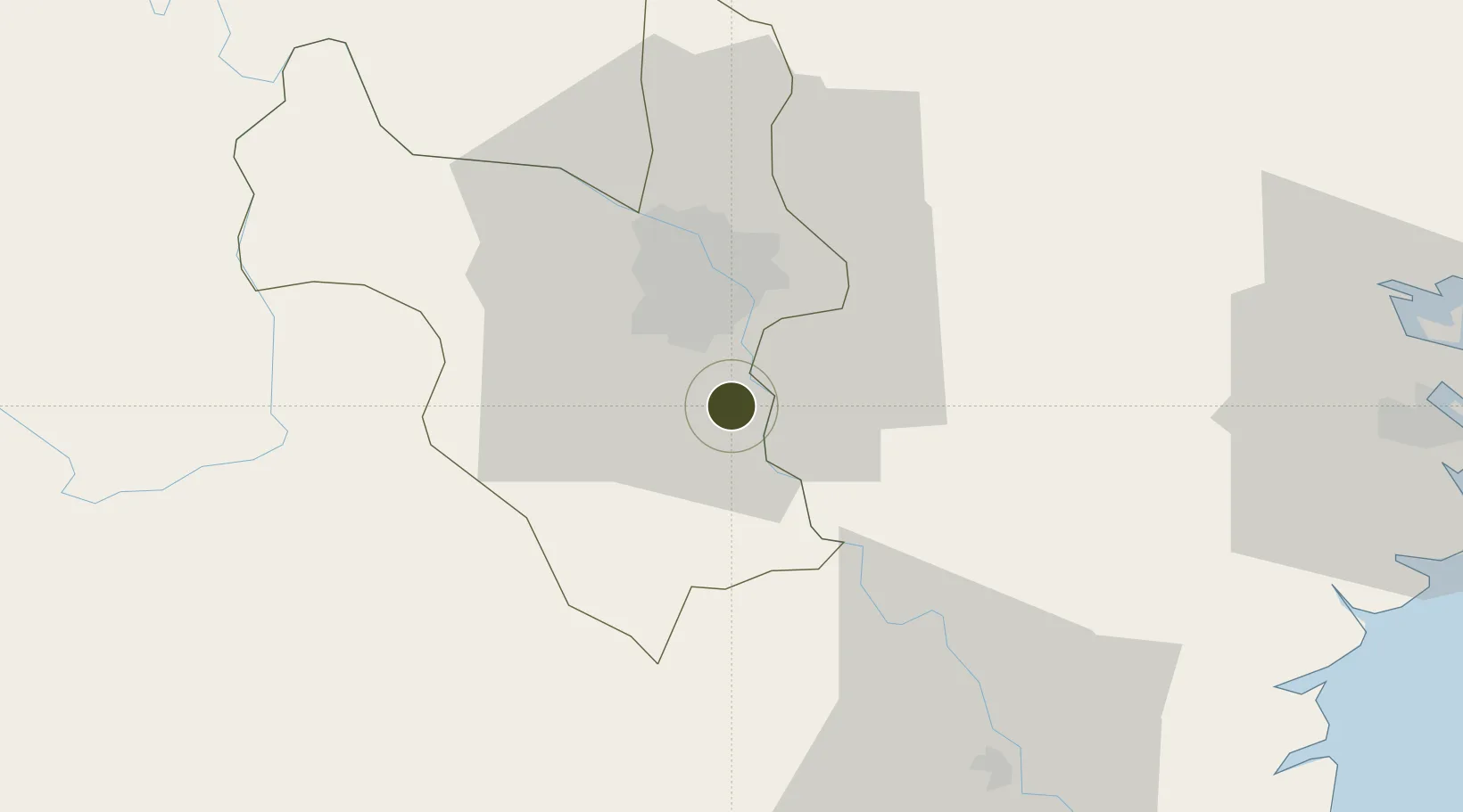
20.8749°, 105.8735°
430 ha
Zone area
84.3 km
Nearest port
18.5 km
Nearest airport

Gateway access

Nearest neighbours — logibook spatial index (haversine) over the source coordinates

Zone profile

Zone type
Industrial Zone
the World Bank SEZ database
Region
Ha Noi
the World Bank SEZ database
Established
2007
the World Bank SEZ database
Management
PPP
the World Bank SEZ database
Operator
D.I.A. Development and Investment Co.
the World Bank SEZ database
Regulatory authority
Chairmen of Provincial People's Committees
the World Bank SEZ database
Legal framework
Law on Foreign Investment in Vietnam, 1996; Decree No. 36/1997/CP on The Regulation of Industrial, Economic and Export processing zones
the World Bank SEZ database

Location

Location of VNM11
Natural Earth 10m (public domain) · Ha Noi · VNM11 · 20.87, 105.87GoogleOSMYandex

Fiscal & incentives

Corporate tax
20%
the World Bank SEZ database
Tax relief
100% exempt
the World Bank SEZ database
Relief duration
4 years
the World Bank SEZ database
VAT
No exemption
the World Bank SEZ database
Import duty (inputs)
0% exempt
the World Bank SEZ database
Import duty (capex)
100% exempt
the World Bank SEZ database
Profit repatriation
No exemption
the World Bank SEZ database
Capital gains
No exemption
the World Bank SEZ database
Withholding tax
No exemption
the World Bank SEZ database
Min. investment
None
the World Bank SEZ database
Min. export
0%
the World Bank SEZ database
Employment incentive
No exemption
the World Bank SEZ database
Developer incentive
No established framework
the World Bank SEZ database

Nearby Logistics Neighbours

Ports
  1. 1Hai Phong84 km
  2. 2Hon Gai124 km
  3. 3Cam Pha156 km
  4. 4Nghe Tinh235 km
  5. 5Fang-Cheng274 km
Nearest neighbours — logibook spatial index (haversine) over the source coordinates
Airports
  1. 1Gia Lam Air Base19 km
  2. 2Noi Bai International Airport39 km
  3. 3Cat Bi International Airport89 km
  4. 4Tho Xuan Airport116 km
  5. 5Van Don International Airport162 km
Nearest neighbours — logibook spatial index (haversine) over the source coordinates
Cities
  1. 1Luong Tai29 km
  2. 2Hoa Mac30 km
  3. 3Hanoi31 km
  4. 4Phu Lý38 km
  5. 5Hoa Lac59 km
Nearest neighbours — logibook spatial index (haversine) over the source coordinates
Trade Zones
  1. 1Pho Noi Industrial Estate10 km
  2. 2Đại Kim Industrial Estate13 km
  3. 3Nguyen Duc Canh Industrial Park13 km
  4. 4Viet Hoa-Kenmark Industrial Estate15 km
  5. 5Yen My Industrial Zone16 km
Nearest neighbours — logibook spatial index (haversine) over the source coordinates
DatabookThe Record of Consolidated Knowledge
Vietnam beyond logistics?
Browse databook

All Sources

Trade Zonesthe World Bank SEZ database
CC BY 4.0
Portsthe NGA World Port Index
Public domain (US gov)
AirportsOurAirports
Public domain
LocationsUN/LOCODE
UN/LOCODE — free
← Vietnam trade zones