Transport Functions
Rail
Road
Hub Profile
Place type
Regional capital
Region
Ninh Binh
Population
136,654
Time zone
Asia/Bangkok
Elevation
8 m
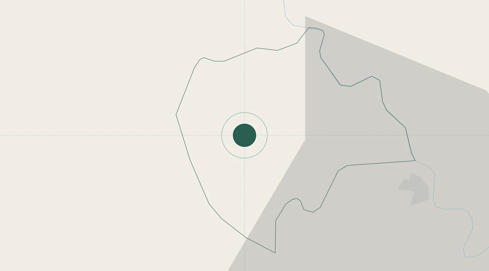
Location
Nearby Logistics Neighbours
Ports
- 1Hai Phong92 km
- 2Hon Gai130 km
- 3Cam Pha162 km
- 4Nghe Tinh197 km
- 5Fang-Cheng288 km
Airports
- 1Gia Lam Air Base56 km
- 2Noi Bai International Airport77 km
- 3Tho Xuan Airport84 km
- 4Cat Bi International Airport91 km
- 5Van Don International Airport171 km
DatabookThe Record of Consolidated Knowledge
Vietnam beyond logistics?