Diversified Zone · Vietnam

Hanoi - Đại Từ Industrial Park Active
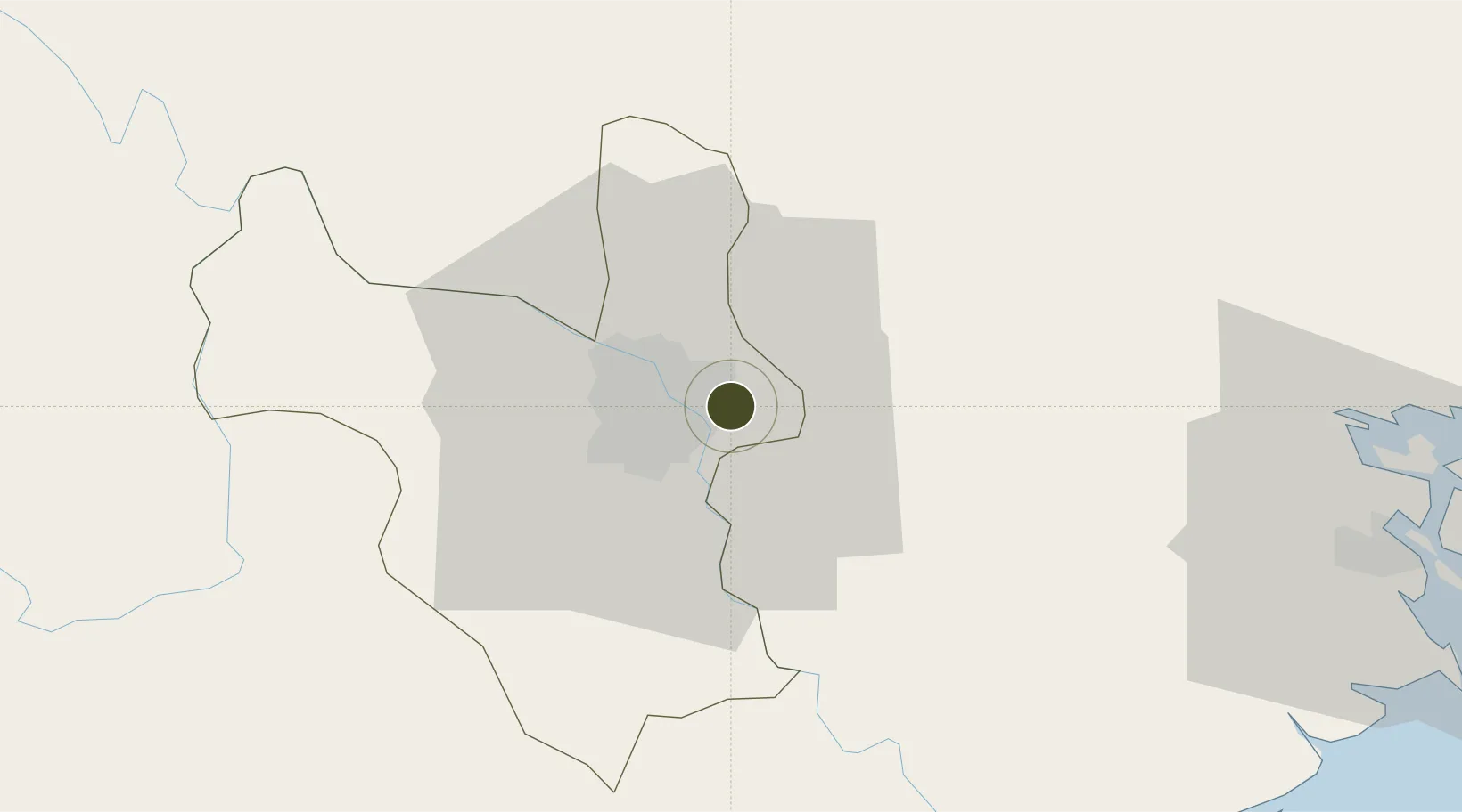
21.0277°, 105.9250°
40 ha
Zone area
79.7 km
Nearest port
4.3 km
Nearest airport

Gateway access

Nearest neighbours — logibook spatial index (haversine) over the source coordinates

Zone profile

Zone type
Diversified Zone
Open Zone Map
Region
Ha Noi
Open Zone Map
Status
Active
Open Zone Map
Management
Public
Open Zone Map
Operator
Infrastructure Construction and Trading Company Hanoi - Dai Tu Industrial Park
Open Zone Map
Legal framework
Decree No.82/2018/ND-CP on Management of Industrial Parks and Economic Zones, Decree No 218/2013/ND-CP
Open Zone Map

Location

Location of ozm-5048
Natural Earth 10m (public domain) · Ha Noi · ozm-5048 · 21.03, 105.92GoogleOSMYandex

Nearby Logistics Neighbours

Ports
  1. 1Hai Phong80 km
  2. 2Hon Gai119 km
  3. 3Cam Pha150 km
  4. 4Nghe Tinh252 km
  5. 5Fang-Cheng264 km
Nearest neighbours — logibook spatial index (haversine) over the source coordinates
Airports
  1. 1Gia Lam Air Base4 km
  2. 2Noi Bai International Airport25 km
  3. 3Cat Bi International Airport86 km
  4. 4Tho Xuan Airport134 km
  5. 5Van Don International Airport155 km
Nearest neighbours — logibook spatial index (haversine) over the source coordinates
Cities
  1. 1Hanoi13 km
  2. 2Luong Tai23 km
  3. 3Hoa Mac45 km
  4. 4Hoa Lac54 km
  5. 5Phu Lý55 km
Nearest neighbours — logibook spatial index (haversine) over the source coordinates
Trade Zones
  1. 1Đại Từ Industrial Zone0 km
  2. 2Sai Dong B Industrial Park2 km
  3. 3Ninh Hiep Industrial Estate6 km
  4. 4Vsip Bac Ninh Industrial Zone7 km
  5. 5Hưng Yên - Như Quỳnh A Industrial Estate8 km
Nearest neighbours — logibook spatial index (haversine) over the source coordinates
DatabookThe Record of Consolidated Knowledge
Vietnam beyond logistics?
Browse databook

All Sources

Trade ZonesOpen Zone Map
CC BY
Portsthe NGA World Port Index
Public domain (US gov)
AirportsOurAirports
Public domain
LocationsUN/LOCODE
UN/LOCODE — free
← Vietnam trade zones