Industrial Zone · Vietnam

Sai Dong B Industrial Park Active
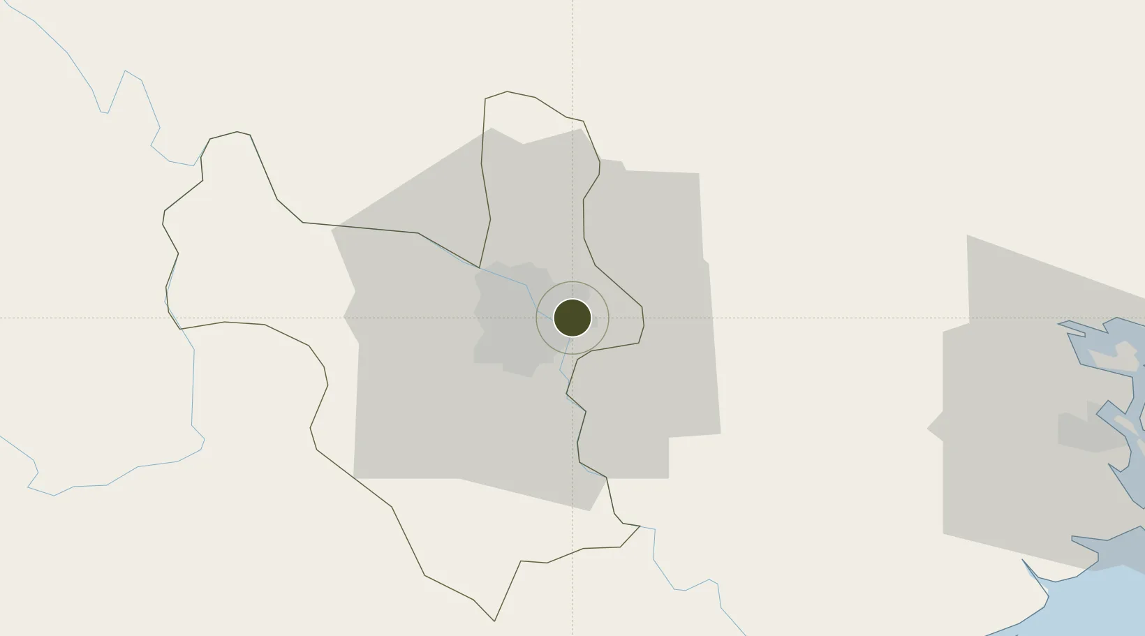
21.0292°, 105.9046°
97 ha
Zone area
81.8 km
Nearest port
2.3 km
Nearest airport

Gateway access

Nearest neighbours — logibook spatial index (haversine) over the source coordinates

Zone profile

Zone type
Industrial Zone
the World Bank SEZ database
Region
Ha Noi
the World Bank SEZ database
Status
Active
the World Bank SEZ database
Established
1998
the World Bank SEZ database
Management
Private management
the World Bank SEZ database
Operator
Hanel Company Limited
the World Bank SEZ database
Regulatory authority
Chairmen of Provincial People's Committees
the World Bank SEZ database
Legal framework
Law on Foreign Investment in Vietnam, 1996; Decree No. 36/1997/CP on The Regulation of Industrial, Economic and Export processing zones
the World Bank SEZ database

Location

Location of VNM10
Natural Earth 10m (public domain) · Ha Noi · VNM10 · 21.03, 105.90GoogleOSMYandex

Fiscal & incentives

Corporate tax
20%
the World Bank SEZ database
Tax relief
100% exempt
the World Bank SEZ database
Relief duration
4 years
the World Bank SEZ database
VAT
No exemption
the World Bank SEZ database
Import duty (inputs)
0% exempt
the World Bank SEZ database
Import duty (capex)
100% exempt
the World Bank SEZ database
Profit repatriation
No exemption
the World Bank SEZ database
Capital gains
No exemption
the World Bank SEZ database
Withholding tax
No exemption
the World Bank SEZ database
Min. investment
None
the World Bank SEZ database
Min. export
0%
the World Bank SEZ database
Employment incentive
No exemption
the World Bank SEZ database
Developer incentive
No established framework
the World Bank SEZ database

Nearby Logistics Neighbours

Ports
  1. 1Hai Phong82 km
  2. 2Hon Gai121 km
  3. 3Cam Pha152 km
  4. 4Nghe Tinh252 km
  5. 5Fang-Cheng266 km
Nearest neighbours — logibook spatial index (haversine) over the source coordinates
Airports
  1. 1Gia Lam Air Base2 km
  2. 2Noi Bai International Airport24 km
  3. 3Cat Bi International Airport88 km
  4. 4Tho Xuan Airport133 km
  5. 5Van Don International Airport157 km
Nearest neighbours — logibook spatial index (haversine) over the source coordinates
Cities
  1. 1Hanoi14 km
  2. 2Luong Tai25 km
  3. 3Hoa Mac45 km
  4. 4Hoa Lac52 km
  5. 5Phu Lý55 km
Nearest neighbours — logibook spatial index (haversine) over the source coordinates
Trade Zones
  1. 1Hanoi - Đại Từ Industrial Park2 km
  2. 2Đại Từ Industrial Zone2 km
  3. 3Ninh Hiep Industrial Estate7 km
  4. 4Nguyen Duc Canh Industrial Park7 km
  5. 5Vsip Bac Ninh Industrial Zone8 km
Nearest neighbours — logibook spatial index (haversine) over the source coordinates
DatabookThe Record of Consolidated Knowledge
Vietnam beyond logistics?
Browse databook

All Sources

Trade Zonesthe World Bank SEZ database
CC BY 4.0
Portsthe NGA World Port Index
Public domain (US gov)
AirportsOurAirports
Public domain
LocationsUN/LOCODE
UN/LOCODE — free
← Vietnam trade zones