Transport Functions
Port
Road
Airport
Multimodal
Hub Profile
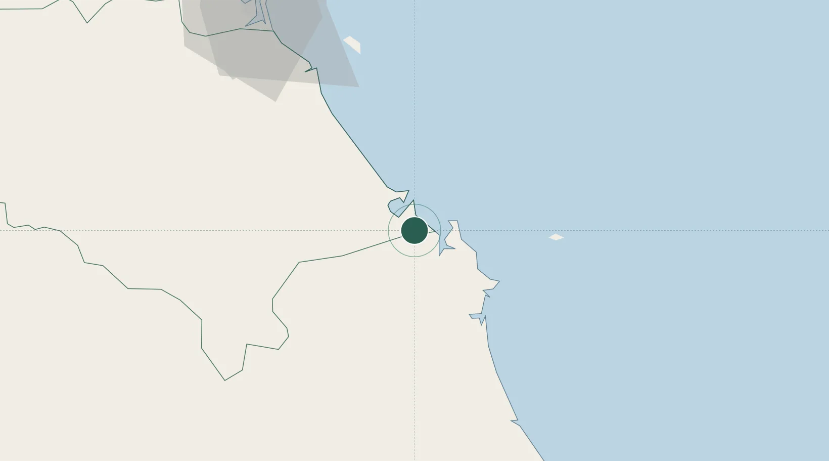
Place type
Populated place
Region
Quang Ngai
Time zone
Asia/Ho_Chi_Minh
Elevation
19 m
Location
Nearby Logistics Neighbours
Cities
- 1Ky Ha Quang Nam Terminal8 km
- 2Ky Ha Terminal9 km
- 3Thuan An12 km
- 4Hoa Vang61 km
- 5Nguyen Van Troi Port89 km
Ports
- 1Da Nang94 km
- 2Qui Nhon191 km
- 3Sanya334 km
- 4Nha Trang355 km
- 5Vinh Cam Ranh394 km
Airports
- 1Chu Lai Airport1 km
- 2Da Nang International Airport90 km
- 3Phu Bai International Airport154 km
- 4Phu Cat Airport165 km
- 5Pleiku Airport172 km
Trade Zones
- 1Dung Quat Economic Zone11 km
- 2Thaco Industrial Park11 km
- 3Tinh Phong Industrial Park25 km
- 4Thuan Yen Industrial Park31 km
- 5Quang Phu Industrial Park32 km
DatabookThe Record of Consolidated Knowledge
Vietnam beyond logistics?