Export Processing Zone · Vietnam

Bình Xuyên Industrial Estate Active
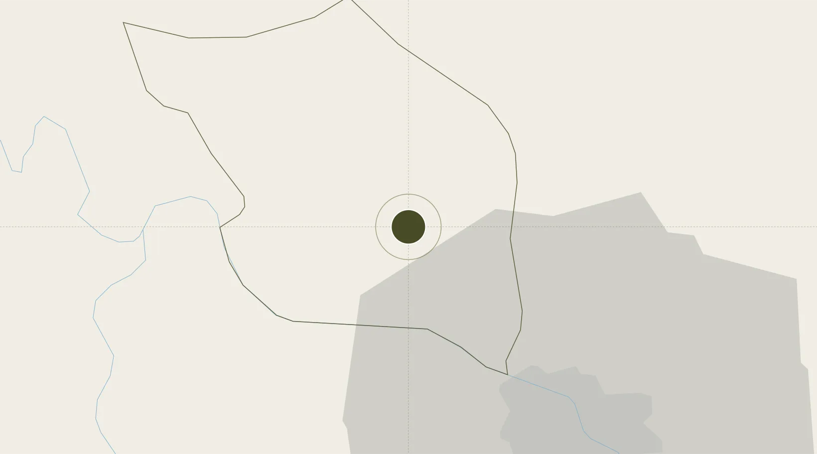
21.2767°, 105.6479°
290 ha
Zone area
114.6 km
Nearest port
17.6 km
Nearest airport

Gateway access

Nearest neighbours — logibook spatial index (haversine) over the source coordinates

Zone profile

Zone type
Export Processing Zone
Open Zone Map
Region
Vĩnh Phúc
Open Zone Map
Status
Active
Open Zone Map
Management
Public-Private Partnership
Open Zone Map
Operator
Thinh Vinh Phuc Construction Investment Co., Ltd
Open Zone Map
Legal framework
Decree No.82/2018/ND-CP on Management of Industrial Parks and Economic Zones, Decree No 218/2013/ND-CP
Open Zone Map

Location

Location of ozm-5130
Natural Earth 10m (public domain) · Vĩnh Phúc · ozm-5130 · 21.28, 105.65GoogleOSMYandex

Nearby Logistics Neighbours

Ports
  1. 1Hai Phong115 km
  2. 2Hon Gai152 km
  3. 3Cam Pha180 km
  4. 4Nghe Tinh279 km
  5. 5Fang-Cheng284 km
Nearest neighbours — logibook spatial index (haversine) over the source coordinates
Airports
  1. 1Noi Bai International Airport18 km
  2. 2Gia Lam Air Base36 km
  3. 3Cat Bi International Airport123 km
  4. 4Tho Xuan Airport154 km
  5. 5Baihe Ningming Air Base179 km
Nearest neighbours — logibook spatial index (haversine) over the source coordinates
Cities
  1. 1Hoa Lac19 km
  2. 2Thái Nguyên38 km
  3. 3Hanoi40 km
  4. 4Luong Tai61 km
  5. 5Hoa Mac80 km
Nearest neighbours — logibook spatial index (haversine) over the source coordinates
Trade Zones
  1. 1Binh Xuyen Industrial Zone1 km
  2. 2Khai Quang Industrial Zone4 km
  3. 3Ba Thien Industrial Estate6 km
  4. 4Kim Hoa Industrial Zone9 km
  5. 5Quang Minh I Industrial Park17 km
Nearest neighbours — logibook spatial index (haversine) over the source coordinates
DatabookThe Record of Consolidated Knowledge
Vietnam beyond logistics?
Browse databook

All Sources

Trade ZonesOpen Zone Map
CC BY
Portsthe NGA World Port Index
Public domain (US gov)
AirportsOurAirports
Public domain
LocationsUN/LOCODE
UN/LOCODE — free
← Vietnam trade zones