Industrial Zone · Vietnam

Quang Minh I Industrial Park Active
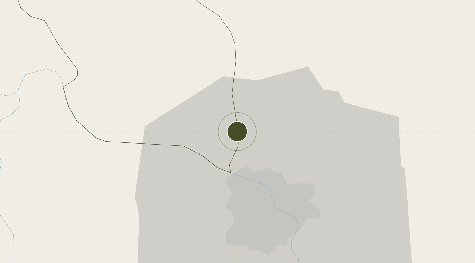
21.1868°, 105.7765°
344 ha
Zone area
98.8 km
Nearest port
5.0 km
Nearest airport

Gateway access

Nearest neighbours — logibook spatial index (haversine) over the source coordinates

Zone profile

Zone type
Industrial Zone
the World Bank SEZ database
Region
Vĩnh Phúc
the World Bank SEZ database
Status
Active
the World Bank SEZ database
Established
2003
the World Bank SEZ database
Management
Private management
the World Bank SEZ database
Operator
Vietnam Investment Development Group (VID)
the World Bank SEZ database
Regulatory authority
Chairmen of Provincial People's Committees
the World Bank SEZ database
Legal framework
Law on Foreign Investment in Vietnam, 1996; Decree No. 36/1997/CP on The Regulation of Industrial, Economic and Export processing zones
the World Bank SEZ database

Location

Location of VNM1
Natural Earth 10m (public domain) · Vĩnh Phúc · VNM1 · 21.19, 105.78GoogleOSMYandex

Fiscal & incentives

Corporate tax
20%
the World Bank SEZ database
Tax relief
100% exempt
the World Bank SEZ database
Relief duration
4 years
the World Bank SEZ database
VAT
No exemption
the World Bank SEZ database
Import duty (inputs)
0% exempt
the World Bank SEZ database
Import duty (capex)
100% exempt
the World Bank SEZ database
Profit repatriation
No exemption
the World Bank SEZ database
Capital gains
No exemption
the World Bank SEZ database
Withholding tax
No exemption
the World Bank SEZ database
Min. investment
None
the World Bank SEZ database
Min. export
0%
the World Bank SEZ database
Employment incentive
No exemption
the World Bank SEZ database
Developer incentive
No established framework
the World Bank SEZ database

Nearby Logistics Neighbours

Ports
  1. 1Hai Phong99 km
  2. 2Hon Gai136 km
  3. 3Cam Pha166 km
  4. 4Nghe Tinh269 km
  5. 5Fang-Cheng274 km
Nearest neighbours — logibook spatial index (haversine) over the source coordinates
Airports
  1. 1Noi Bai International Airport5 km
  2. 2Gia Lam Air Base20 km
  3. 3Cat Bi International Airport107 km
  4. 4Tho Xuan Airport147 km
  5. 5Van Don International Airport170 km
Nearest neighbours — logibook spatial index (haversine) over the source coordinates
Cities
  1. 1Hanoi23 km
  2. 2Hoa Lac33 km
  3. 3Thái Nguyên41 km
  4. 4Luong Tai44 km
  5. 5Hoa Mac66 km
Nearest neighbours — logibook spatial index (haversine) over the source coordinates
Trade Zones
  1. 1Noi Bai Industrial Park6 km
  2. 2Kim Hoa Industrial Zone8 km
  3. 3The North Thang Long Industrial Park8 km
  4. 4Binh Xuyen Industrial Zone16 km
  5. 5Ba Thien Industrial Estate17 km
Nearest neighbours — logibook spatial index (haversine) over the source coordinates
DatabookThe Record of Consolidated Knowledge
Vietnam beyond logistics?
Browse databook

All Sources

Trade Zonesthe World Bank SEZ database
CC BY 4.0
Portsthe NGA World Port Index
Public domain (US gov)
AirportsOurAirports
Public domain
LocationsUN/LOCODE
UN/LOCODE — free
← Vietnam trade zones