Export Processing Zone · Vietnam

Châu Sơn (Phu Ly) Industrial Estate Active
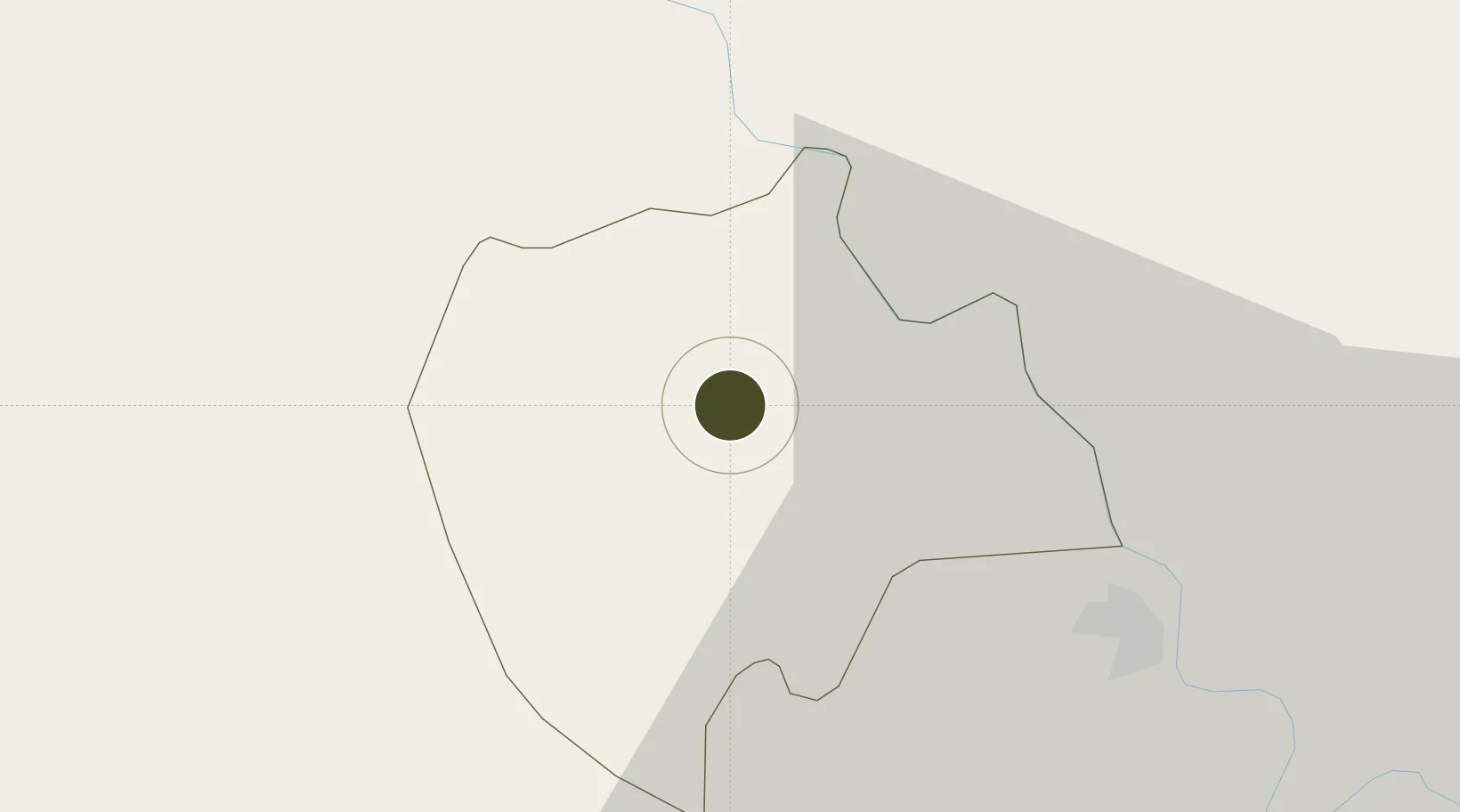
20.5693°, 105.9656°
170 ha
Zone area
84.0 km
Nearest port
53.0 km
Nearest airport

Gateway access

Nearest neighbours — logibook spatial index (haversine) over the source coordinates

Zone profile

Zone type
Export Processing Zone
Open Zone Map
Region
Hà Nam
Open Zone Map
Status
Active
Open Zone Map
Management
Public-Private Partnership
Open Zone Map
Operator
Hoa Phat Urban Development & Construction JSC
Open Zone Map
Legal framework
Decree No.82/2018/ND-CP on Management of Industrial Parks and Economic Zones, Decree No 218/2013/ND-CP
Open Zone Map

Location

Location of ozm-5123
Natural Earth 10m (public domain) · Hà Nam · ozm-5123 · 20.57, 105.97GoogleOSMYandex

Nearby Logistics Neighbours

Ports
  1. 1Hai Phong84 km
  2. 2Hon Gai122 km
  3. 3Cam Pha155 km
  4. 4Nghe Tinh202 km
  5. 5Fang-Cheng280 km
Nearest neighbours — logibook spatial index (haversine) over the source coordinates
Airports
  1. 1Gia Lam Air Base53 km
  2. 2Noi Bai International Airport74 km
  3. 3Cat Bi International Airport84 km
  4. 4Tho Xuan Airport91 km
  5. 5Van Don International Airport163 km
Nearest neighbours — logibook spatial index (haversine) over the source coordinates
Cities
  1. 1Phu Lý8 km
  2. 2Hoa Mac8 km
  3. 3Nghe Tinh27 km
  4. 4Luong Tai48 km
  5. 5Hanoi62 km
Nearest neighbours — logibook spatial index (haversine) over the source coordinates
Trade Zones
  1. 1Hoàng Đồng Industrial Estate8 km
  2. 2Đồng Văn - Duy Tiên Industrial Estate10 km
  3. 3Dong Van Ii Industrial Zone11 km
  4. 4Hanoi Southern Supporting Industrial Park16 km
  5. 5Viet Hoa-Kenmark Industrial Estate27 km
Nearest neighbours — logibook spatial index (haversine) over the source coordinates
DatabookThe Record of Consolidated Knowledge
Vietnam beyond logistics?
Browse databook

All Sources

Trade ZonesOpen Zone Map
CC BY
Portsthe NGA World Port Index
Public domain (US gov)
AirportsOurAirports
Public domain
LocationsUN/LOCODE
UN/LOCODE — free
← Vietnam trade zones