Export Processing Zone · Vietnam

Hoàng Đồng Industrial Estate Active
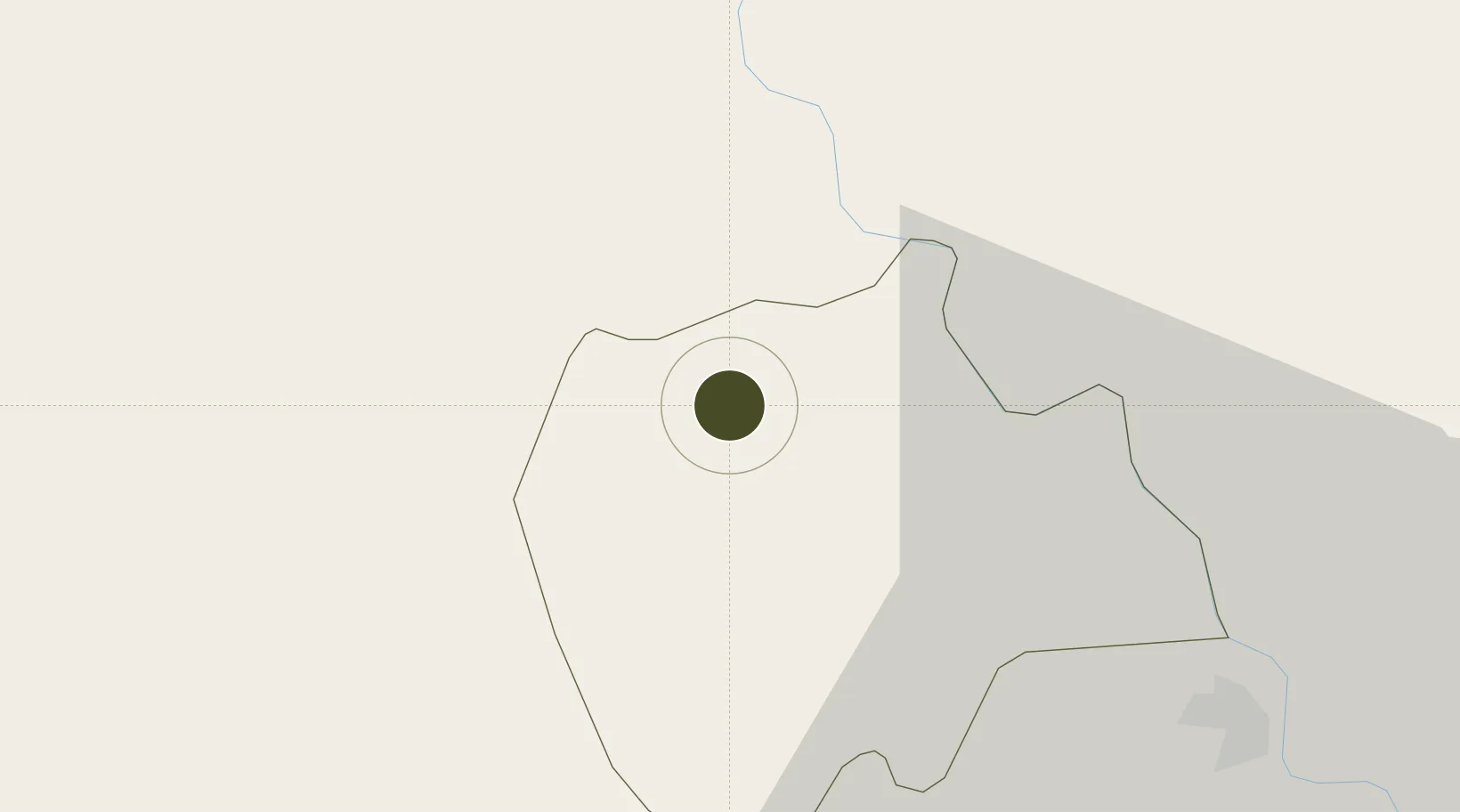
20.6202°, 105.9062°
100 ha
Zone area
87.3 km
Nearest port
46.8 km
Nearest airport

Gateway access

Nearest neighbours — logibook spatial index (haversine) over the source coordinates

Zone profile

Zone type
Export Processing Zone
Open Zone Map
Region
Hà Nam
Open Zone Map
Status
Active
Open Zone Map
Management
Public
Open Zone Map
Operator
Management In Hung Yen Industrail Park
Open Zone Map
Legal framework
Decree No.82/2018/ND-CP on Management of Industrial Parks and Economic Zones, Decree No 218/2013/ND-CP
Open Zone Map

Location

Location of ozm-5133
Natural Earth 10m (public domain) · Hà Nam · ozm-5133 · 20.62, 105.91GoogleOSMYandex

Nearby Logistics Neighbours

Ports
  1. 1Hai Phong87 km
  2. 2Hon Gai126 km
  3. 3Cam Pha159 km
  4. 4Nghe Tinh207 km
  5. 5Fang-Cheng283 km
Nearest neighbours — logibook spatial index (haversine) over the source coordinates
Airports
  1. 1Gia Lam Air Base47 km
  2. 2Noi Bai International Airport68 km
  3. 3Cat Bi International Airport88 km
  4. 4Tho Xuan Airport92 km
  5. 5Van Don International Airport166 km
Nearest neighbours — logibook spatial index (haversine) over the source coordinates
Cities
  1. 1Phu Lý10 km
  2. 2Hoa Mac10 km
  3. 3Nghe Tinh35 km
  4. 4Luong Tai45 km
  5. 5Hanoi57 km
Nearest neighbours — logibook spatial index (haversine) over the source coordinates
Trade Zones
  1. 1Đồng Văn - Duy Tiên Industrial Estate3 km
  2. 2Dong Van Ii Industrial Zone5 km
  3. 3Châu Sơn (Phu Ly) Industrial Estate8 km
  4. 4Hanoi Southern Supporting Industrial Park10 km
  5. 5Pho Noi Industrial Estate22 km
Nearest neighbours — logibook spatial index (haversine) over the source coordinates
DatabookThe Record of Consolidated Knowledge
Vietnam beyond logistics?
Browse databook

All Sources

Trade ZonesOpen Zone Map
CC BY
Portsthe NGA World Port Index
Public domain (US gov)
AirportsOurAirports
Public domain
LocationsUN/LOCODE
UN/LOCODE — free
← Vietnam trade zones