Diversified Zone · Vietnam

Hanoi Southern Supporting Industrial Park Active
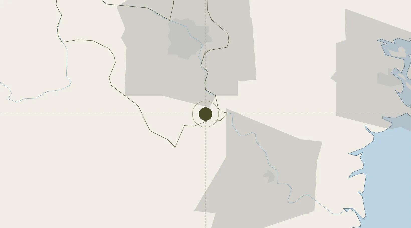
20.7084°, 105.9146°
52 ha
Zone area
83.2 km
Nearest port
37.1 km
Nearest airport

Gateway access

Nearest neighbours — logibook spatial index (haversine) over the source coordinates

Zone profile

Zone type
Diversified Zone
Open Zone Map
Region
Ha Noi
Open Zone Map
Status
Active
Open Zone Map
Management
Public-Private Partnership
Open Zone Map
Operator
N&G Investment - Development Joint Stock Company
Open Zone Map
Legal framework
Decree No.82/2018/ND-CP on Management of Industrial Parks and Economic Zones, Decree No 218/2013/ND-CP
Open Zone Map

Location

Location of ozm-5049
Natural Earth 10m (public domain) · Ha Noi · ozm-5049 · 20.71, 105.91GoogleOSMYandex

Nearby Logistics Neighbours

Ports
  1. 1Hai Phong83 km
  2. 2Hon Gai123 km
  3. 3Cam Pha155 km
  4. 4Nghe Tinh217 km
  5. 5Fang-Cheng278 km
Nearest neighbours — logibook spatial index (haversine) over the source coordinates
Airports
  1. 1Gia Lam Air Base37 km
  2. 2Noi Bai International Airport58 km
  3. 3Cat Bi International Airport85 km
  4. 4Tho Xuan Airport101 km
  5. 5Van Don International Airport163 km
Nearest neighbours — logibook spatial index (haversine) over the source coordinates
Cities
  1. 1Hoa Mac12 km
  2. 2Phu Lý20 km
  3. 3Luong Tai37 km
  4. 4Nghe Tinh42 km
  5. 5Hanoi47 km
Nearest neighbours — logibook spatial index (haversine) over the source coordinates
Trade Zones
  1. 1Dong Van Ii Industrial Zone5 km
  2. 2Đồng Văn - Duy Tiên Industrial Estate8 km
  3. 3Hoàng Đồng Industrial Estate10 km
  4. 4Pho Noi Industrial Estate12 km
  5. 5Viet Hoa-Kenmark Industrial Estate14 km
Nearest neighbours — logibook spatial index (haversine) over the source coordinates
DatabookThe Record of Consolidated Knowledge
Vietnam beyond logistics?
Browse databook

All Sources

Trade ZonesOpen Zone Map
CC BY
Portsthe NGA World Port Index
Public domain (US gov)
AirportsOurAirports
Public domain
LocationsUN/LOCODE
UN/LOCODE — free
← Vietnam trade zones