Export Processing Zone · Vietnam

Viet Hoa-Kenmark Industrial Estate Under Development
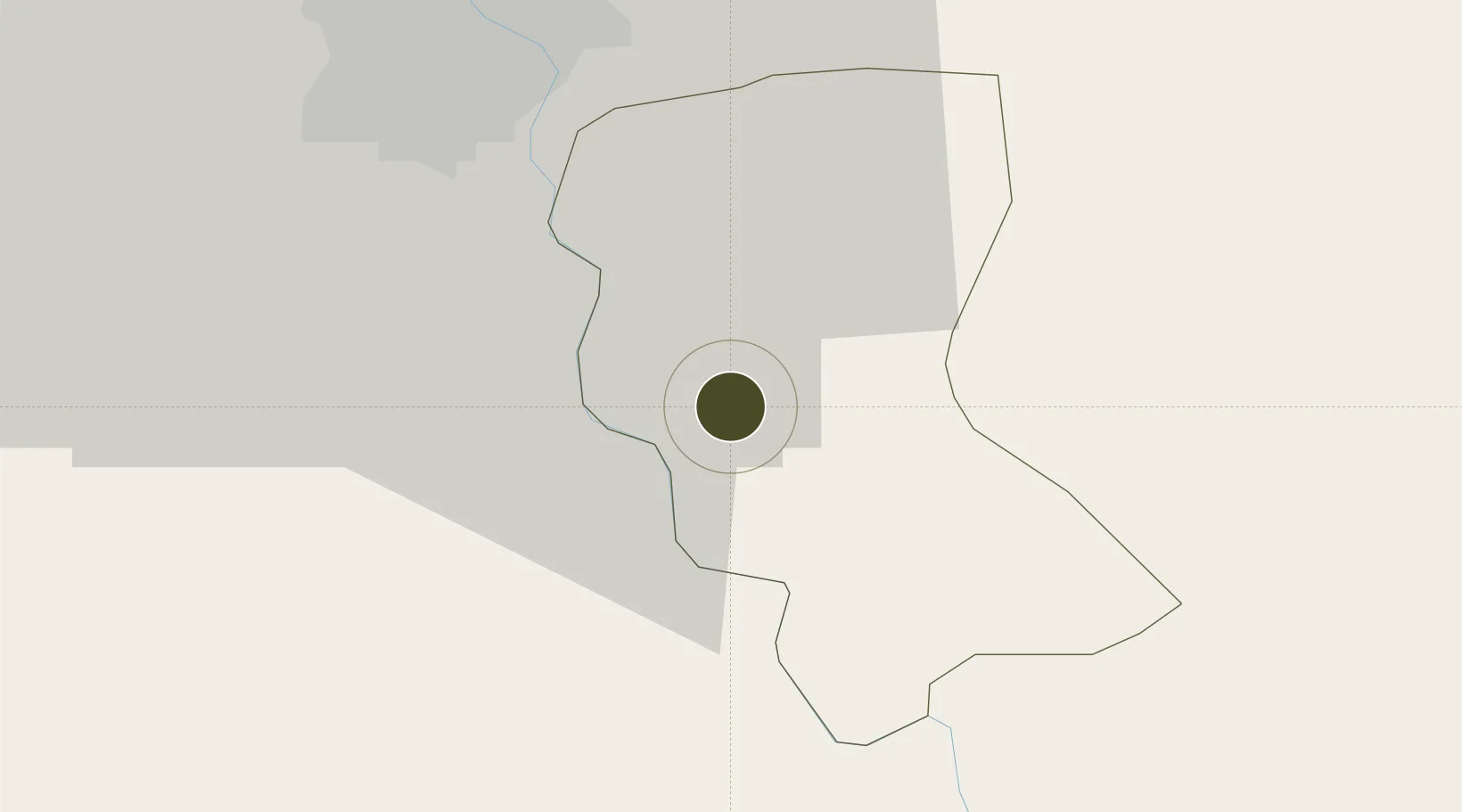
20.8086°, 105.9993°
46 ha
Zone area
72.1 km
Nearest port
28.3 km
Nearest airport

Gateway access

Nearest neighbours — logibook spatial index (haversine) over the source coordinates

Zone profile

Zone type
Export Processing Zone
Open Zone Map
Region
Đồng Bằng Sông Hồng
Open Zone Map
Status
Under Development
Open Zone Map
Management
Public-Private Partnership
Open Zone Map
Operator
An Phat Hi-tech IZ Co., Ltd
Open Zone Map
Legal framework
Decree No.82/2018/ND-CP on Management of Industrial Parks and Economic Zones, Decree No 218/2013/ND-CP
Open Zone Map

Location

Location of ozm-5166
Natural Earth 10m (public domain) · Đồng Bằng Sông Hồng · ozm-5166 · 20.81, 106.00GoogleOSMYandex

Nearby Logistics Neighbours

Ports
  1. 1Hai Phong72 km
  2. 2Hon Gai112 km
  3. 3Cam Pha144 km
  4. 4Nghe Tinh228 km
  5. 5Fang-Cheng265 km
Nearest neighbours — logibook spatial index (haversine) over the source coordinates
Airports
  1. 1Gia Lam Air Base28 km
  2. 2Noi Bai International Airport50 km
  3. 3Cat Bi International Airport75 km
  4. 4Tho Xuan Airport115 km
  5. 5Van Don International Airport151 km
Nearest neighbours — logibook spatial index (haversine) over the source coordinates
Cities
  1. 1Hoa Mac20 km
  2. 2Luong Tai22 km
  3. 3Phu Lý32 km
  4. 4Hanoi35 km
  5. 5Nghe Tinh48 km
Nearest neighbours — logibook spatial index (haversine) over the source coordinates
Trade Zones
  1. 1Pho Noi Industrial Estate6 km
  2. 2Yen My Ii Industrial Park9 km
  3. 3Yen My Industrial Zone9 km
  4. 4Thang Long Ii Industrial Park14 km
  5. 5Hanoi Southern Supporting Industrial Park14 km
Nearest neighbours — logibook spatial index (haversine) over the source coordinates
DatabookThe Record of Consolidated Knowledge
Vietnam beyond logistics?
Browse databook

All Sources

Trade ZonesOpen Zone Map
CC BY
Portsthe NGA World Port Index
Public domain (US gov)
AirportsOurAirports
Public domain
LocationsUN/LOCODE
UN/LOCODE — free
← Vietnam trade zones