UN/LOCODE hub · Vietnam
VNNGT

Nghe Tinh

20.4000°, 106.1500°
2
Transport functions

Transport Functions

Port
Road
Nghe Tinh is also a profiled seaport →
UN/LOCODE

Location

Location of VNNGT
Natural Earth 10m (public domain) · Nam Định · VNNGT · 20.40, 106.15GoogleOSMYandex

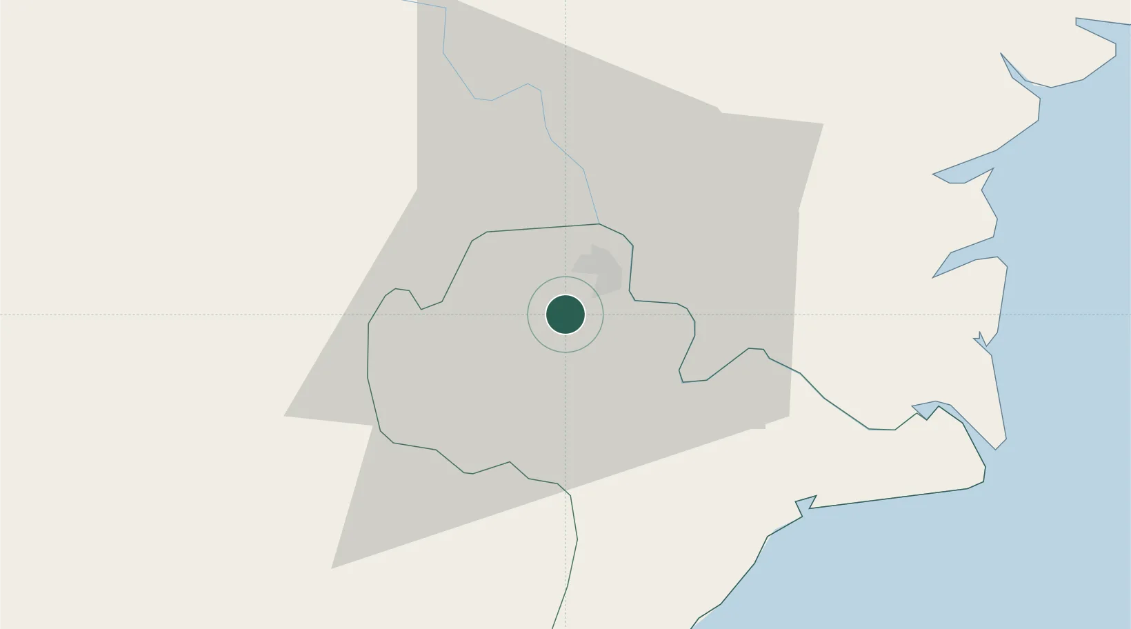
Nearby Logistics Neighbours

Cities
  1. 1Phu Lý30 km
  2. 2Hoa Mac30 km
  3. 3Luong Tai63 km
  4. 4Vat Cach71 km
  5. 5Cua Cam Terminal76 km
Nearest neighbours — logibook spatial index (haversine) over the source coordinates
Ports
  1. 1Hai Phong80 km
  2. 2Hon Gai113 km
  3. 3Cam Pha145 km
  4. 4Fang-Cheng273 km
  5. 5Qinzhou293 km
Nearest neighbours — logibook spatial index (haversine) over the source coordinates
Airports
  1. 1Cat Bi International Airport76 km
  2. 2Gia Lam Air Base76 km
  3. 3Tho Xuan Airport90 km
  4. 4Noi Bai International Airport98 km
  5. 5Van Don International Airport154 km
Nearest neighbours — logibook spatial index (haversine) over the source coordinates
Trade Zones
  1. 1Phuc Khanh Industrial Park18 km
  2. 2Song Tra Industrial Park20 km
  3. 3Phuc Khanh Ii Industrial Park20 km
  4. 4Thaco - Thai Binh Industrial Park21 km
  5. 5Gia Lê Industrial Park24 km
Nearest neighbours — logibook spatial index (haversine) over the source coordinates
DatabookThe Record of Consolidated Knowledge
Vietnam beyond logistics?
Browse databook

All Sources

LocationsUN/LOCODE
UN/LOCODE — free
Portsthe NGA World Port Index
Public domain (US gov)
AirportsOurAirports
Public domain
Trade Zonesthe World Bank SEZ database
CC BY 4.0
Trade ZonesOpen Zone Map
CC BY
← Vietnam locations