Export Processing Zone · Vietnam

Đồng Văn - Duy Tiên Industrial Estate Active
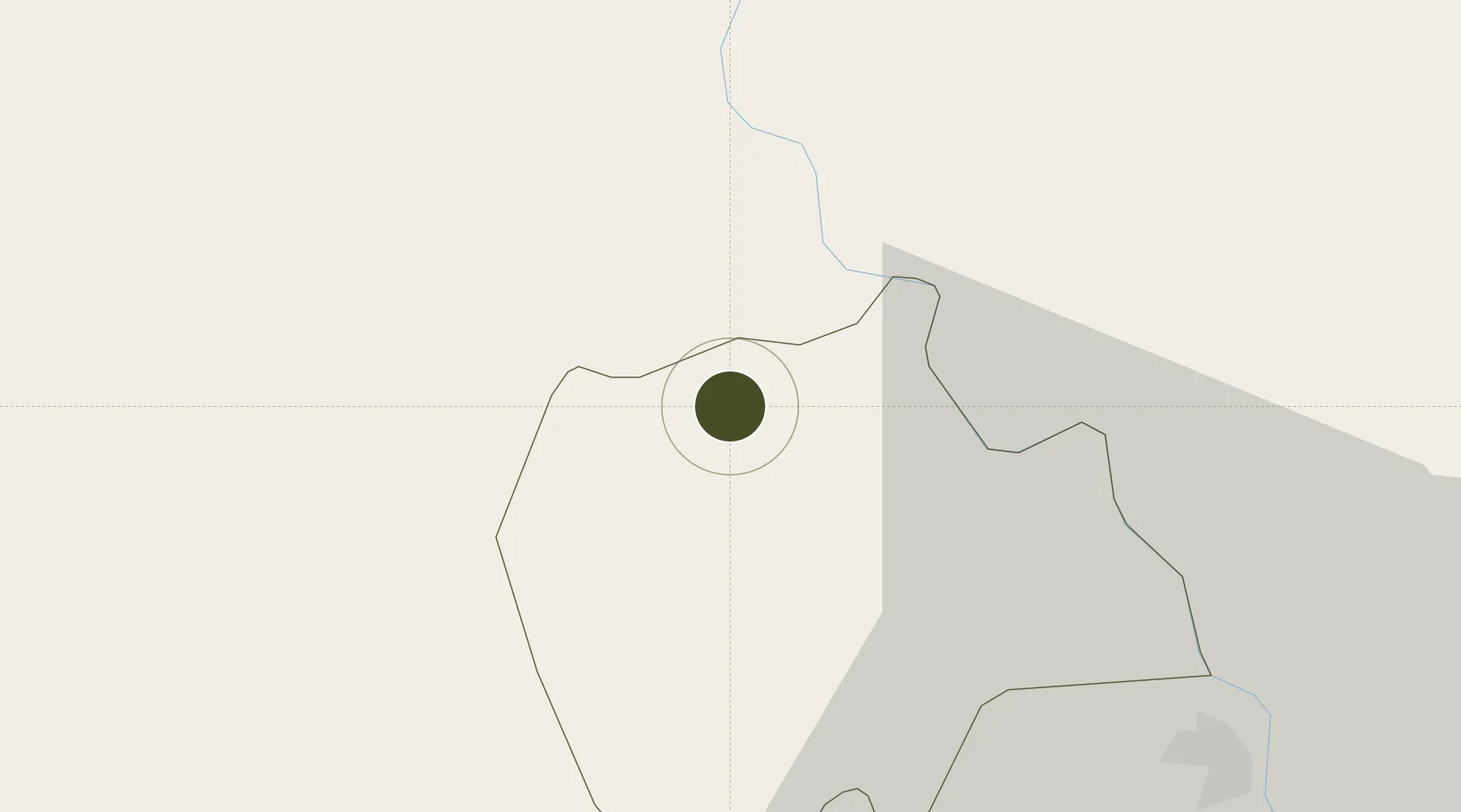
20.6407°, 105.9163°
138 ha
Zone area
85.4 km
Nearest port
44.6 km
Nearest airport

Gateway access

Nearest neighbours — logibook spatial index (haversine) over the source coordinates

Zone profile

Zone type
Export Processing Zone
Open Zone Map
Region
Hà Nam
Open Zone Map
Status
Active
Open Zone Map
Management
Public-Private Partnership
Open Zone Map
Operator
Ha Nam Development JSC
Open Zone Map
Legal framework
Decree No.82/2018/ND-CP on Management of Industrial Parks and Economic Zones, Decree No 218/2013/ND-CP
Open Zone Map

Location

Location of ozm-5125
Natural Earth 10m (public domain) · Hà Nam · ozm-5125 · 20.64, 105.92GoogleOSMYandex

Nearby Logistics Neighbours

Ports
  1. 1Hai Phong85 km
  2. 2Hon Gai124 km
  3. 3Cam Pha157 km
  4. 4Nghe Tinh209 km
  5. 5Fang-Cheng281 km
Nearest neighbours — logibook spatial index (haversine) over the source coordinates
Airports
  1. 1Gia Lam Air Base45 km
  2. 2Noi Bai International Airport66 km
  3. 3Cat Bi International Airport86 km
  4. 4Tho Xuan Airport95 km
  5. 5Van Don International Airport165 km
Nearest neighbours — logibook spatial index (haversine) over the source coordinates
Cities
  1. 1Hoa Mac9 km
  2. 2Phu Lý12 km
  3. 3Nghe Tinh36 km
  4. 4Luong Tai43 km
  5. 5Hanoi55 km
Nearest neighbours — logibook spatial index (haversine) over the source coordinates
Trade Zones
  1. 1Hoàng Đồng Industrial Estate3 km
  2. 2Dong Van Ii Industrial Zone3 km
  3. 3Hanoi Southern Supporting Industrial Park8 km
  4. 4Châu Sơn (Phu Ly) Industrial Estate10 km
  5. 5Pho Noi Industrial Estate19 km
Nearest neighbours — logibook spatial index (haversine) over the source coordinates
DatabookThe Record of Consolidated Knowledge
Vietnam beyond logistics?
Browse databook

All Sources

Trade ZonesOpen Zone Map
CC BY
Portsthe NGA World Port Index
Public domain (US gov)
AirportsOurAirports
Public domain
LocationsUN/LOCODE
UN/LOCODE — free
← Vietnam trade zones