Diversified Zone · China

Laiwu Steel City Economic Development Zone Active
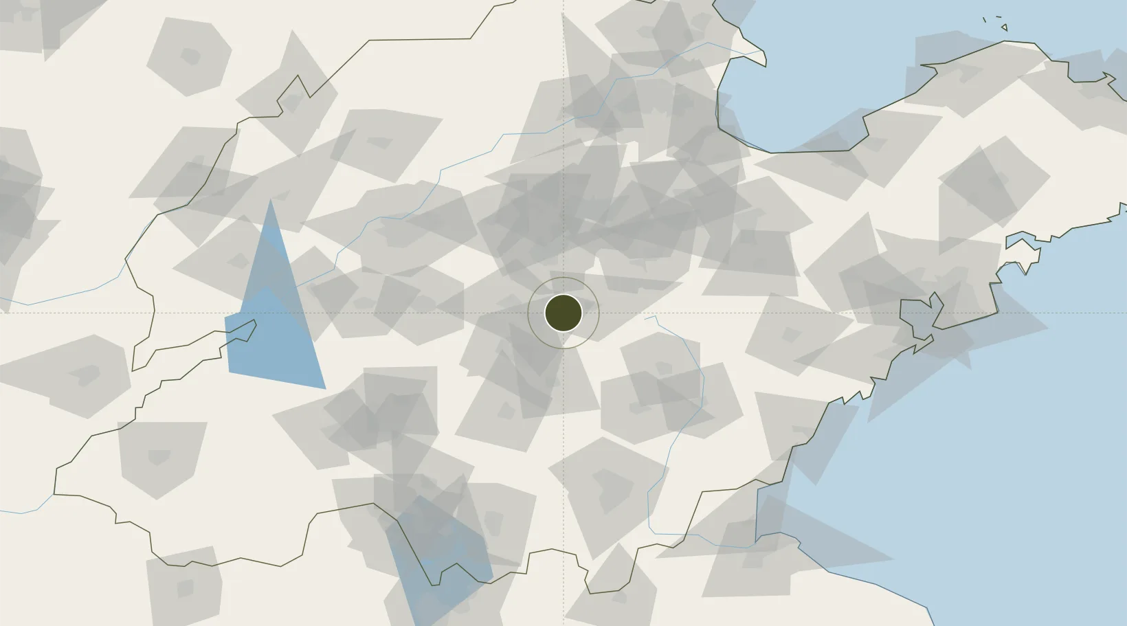
36.1434°, 118.0000°
463 ha
Zone area
164.7 km
Nearest port
37.2 km
Nearest airport

Gateway access

Nearest neighbours — logibook spatial index (haversine) over the source coordinates

Zone profile

Zone type
Diversified Zone
Open Zone Map
Region
Shandong
Open Zone Map
Status
Active
Open Zone Map
Management
Public
Open Zone Map
Operator
Laiwu Steel City Economic Development Zone Management Committee
Open Zone Map
Legal framework
In 1992, it was upgraded to prefecture-level city with the approval of The State Council
Open Zone Map

Location

Location of ozm-510
Natural Earth 10m (public domain) · Shandong · ozm-510 · 36.14, 118.00GoogleOSMYandex

Nearby Logistics Neighbours

Ports
  1. 1Rizhao165 km
  2. 2Lanshan171 km
  3. 3Qingdao Gang204 km
  4. 4Lianyungang205 km
  5. 5Longkou Gang262 km
Nearest neighbours — logibook spatial index (haversine) over the source coordinates
Airports
  1. 1Guodu Air Base37 km
  2. 2Jinan Yaoqiang International Airport106 km
  3. 3Weifang Nanyuan Airport115 km
  4. 4Jining Da'an Airport126 km
  5. 5Linyi Qiyang Airport127 km
Nearest neighbours — logibook spatial index (haversine) over the source coordinates
Cities
  1. 1Linzi57 km
  2. 2Taian78 km
  3. 3Zibo78 km
  4. 4Jinan107 km
  5. 5Anqiu110 km
Nearest neighbours — logibook spatial index (haversine) over the source coordinates
Trade Zones
  1. 1Yiyuan Economic Development Zone23 km
  2. 2Xintai Economic Development Zone38 km
  3. 3Laiwu Industrial Park40 km
  4. 4Boshan Economic Development Zone47 km
  5. 5Mengyin Economic Development Zone50 km
Nearest neighbours — logibook spatial index (haversine) over the source coordinates
DatabookThe Record of Consolidated Knowledge
China beyond logistics?
Browse databook

All Sources

Trade ZonesOpen Zone Map
CC BY
Portsthe NGA World Port Index
Public domain (US gov)
AirportsOurAirports
Public domain
LocationsUN/LOCODE
UN/LOCODE — free
← China trade zones