Transport Functions
Rail
Road
Airport
Postal
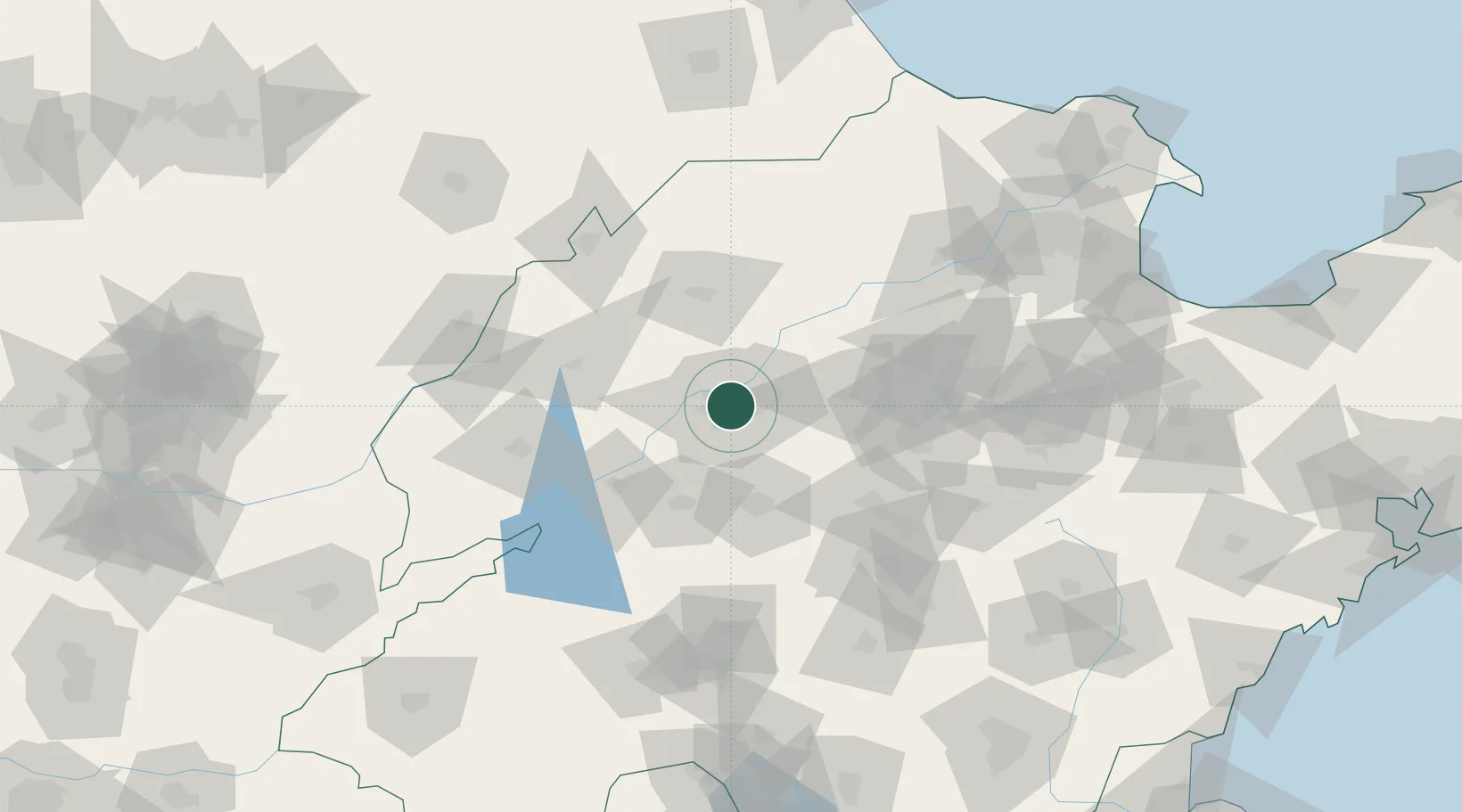
Hub Profile
Place type
Regional capital
Region
Shandong
Population
4,335,989
Time zone
Asia/Shanghai
Elevation
32 m
Location
Nearby Logistics Neighbours
Ports
- 1Tianjin Xin Gang266 km
- 2Rizhao271 km
- 3Lanshan277 km
- 4Qingdao Gang301 km
- 5Lianyungang309 km
Airports
- 1Jinan Yaoqiang International Airport29 km
- 2Guodu Air Base93 km
- 3Jining Da'an Airport116 km
- 4Jiugucheng Air Base121 km
- 5Jining Qufu Airport164 km
DatabookThe Record of Consolidated Knowledge
China beyond logistics?