Export Processing Zone · China

Laiwu Industrial Park Active
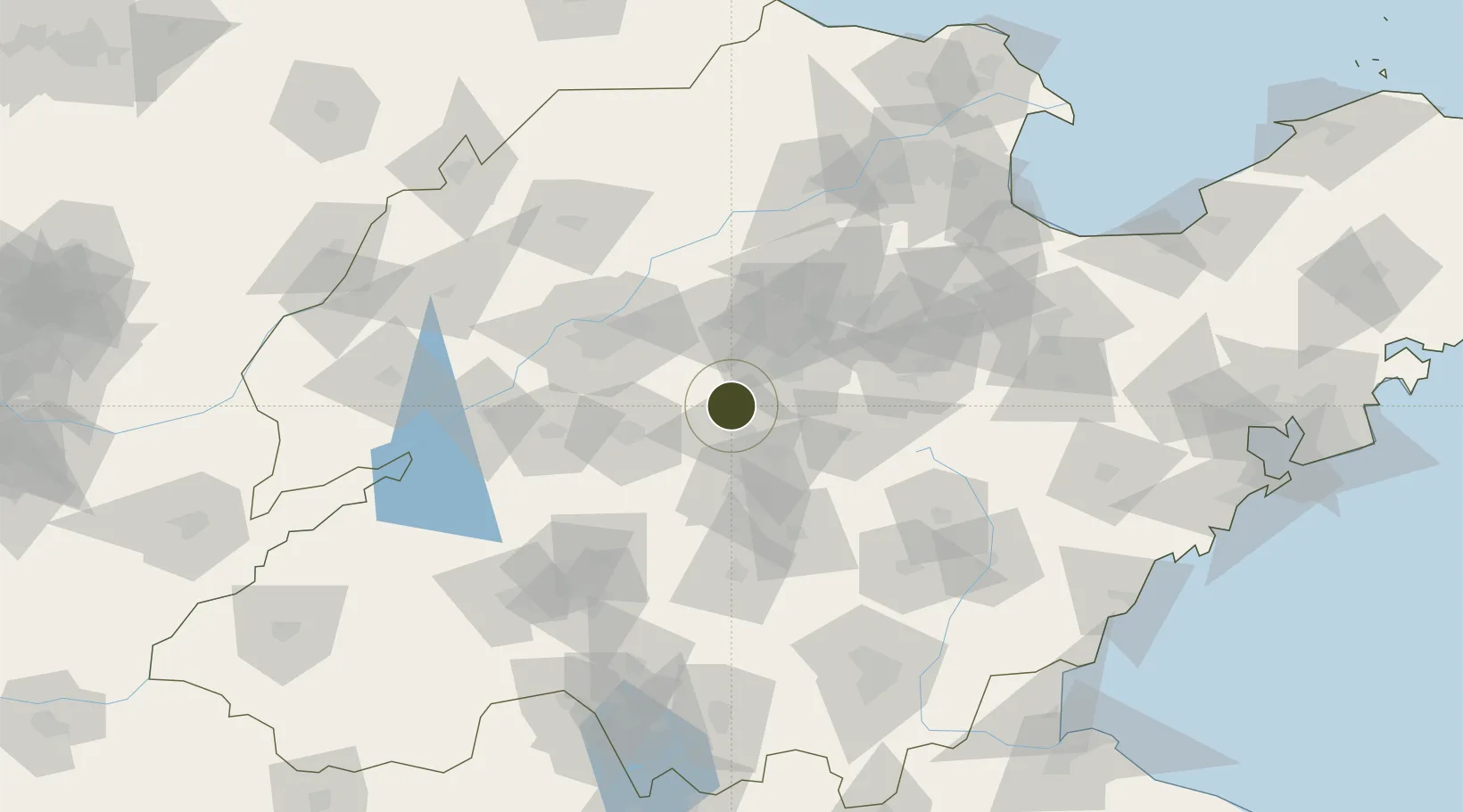
36.3248°, 117.6208°
15,170 ha
Zone area
204.2 km
Nearest port
36.1 km
Nearest airport

Gateway access

Nearest neighbours — logibook spatial index (haversine) over the source coordinates

Zone profile

Zone type
Export Processing Zone
Open Zone Map
Region
Shandong
Open Zone Map
Status
Active
Open Zone Map
Management
Public
Open Zone Map
Operator
Working Committee of Laiwu Industrial Park
Open Zone Map
Legal framework
Controlled detailed planning of Block 01, KZ-25 Block, Laiwu District
Open Zone Map

Location

Location of ozm-1467
Natural Earth 10m (public domain) · Shandong · ozm-1467 · 36.32, 117.62GoogleOSMYandex

Nearby Logistics Neighbours

Ports
  1. 1Rizhao204 km
  2. 2Lanshan210 km
  3. 3Qingdao Gang240 km
  4. 4Lianyungang242 km
  5. 5Longkou Gang278 km
Nearest neighbours — logibook spatial index (haversine) over the source coordinates
Airports
  1. 1Guodu Air Base36 km
  2. 2Jinan Yaoqiang International Airport69 km
  3. 3Jining Da'an Airport109 km
  4. 4Weifang Nanyuan Airport139 km
  5. 5Linyi Qiyang Airport158 km
Nearest neighbours — logibook spatial index (haversine) over the source coordinates
Cities
  1. 1Taian47 km
  2. 2Jinan67 km
  3. 3Zibo70 km
  4. 4Linzi75 km
  5. 5Pingdu76 km
Nearest neighbours — logibook spatial index (haversine) over the source coordinates
Trade Zones
  1. 1Boshan Economic Development Zone32 km
  2. 2Laiwu Steel City Economic Development Zone40 km
  3. 3Zibo Economic and Technological Development Zone47 km
  4. 4Xintai Economic Development Zone50 km
  5. 5Jinan Export Processing Zone52 km
Nearest neighbours — logibook spatial index (haversine) over the source coordinates
DatabookThe Record of Consolidated Knowledge
China beyond logistics?
Browse databook

All Sources

Trade ZonesOpen Zone Map
CC BY
Portsthe NGA World Port Index
Public domain (US gov)
AirportsOurAirports
Public domain
LocationsUN/LOCODE
UN/LOCODE — free
← China trade zones