Transport Functions
Multimodal
Hub Profile
Place type
Provincial seat
Region
Shandong
Population
1,735,425
Time zone
Asia/Shanghai
Elevation
143 m
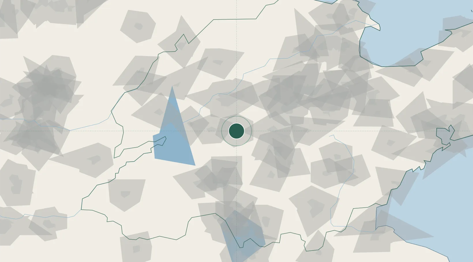
Location
Nearby Logistics Neighbours
Ports
- 1Lanshan236 km
- 2Rizhao237 km
- 3Lianyungang265 km
- 4Qingdao Gang282 km
- 5Tianjin Xin Gang316 km
Airports
- 1Guodu Air Base49 km
- 2Jining Da'an Airport69 km
- 3Jinan Yaoqiang International Airport75 km
- 4Jining Qufu Airport122 km
- 5Heze Mudan Airport166 km
Trade Zones
DatabookThe Record of Consolidated Knowledge
China beyond logistics?