Export Processing Zone · China

Mengyin Economic Development Zone Active
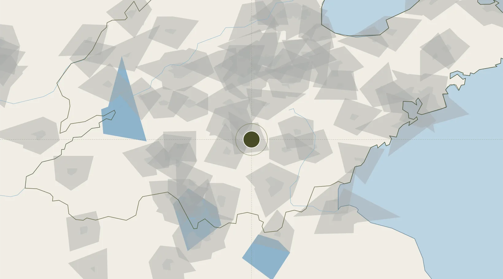
35.6949°, 117.9864°
350 ha
Zone area
142.6 km
Nearest port
47.0 km
Nearest airport

Gateway access

Nearest neighbours — logibook spatial index (haversine) over the source coordinates

Zone profile

Zone type
Export Processing Zone
Open Zone Map
Region
Shandong
Open Zone Map
Status
Active
Open Zone Map
Management
Public
Open Zone Map
Operator
Management committee
Open Zone Map
Legal framework
The provincial development zone approved by the provincial government in 2006
Open Zone Map

Location

Location of ozm-1105
Natural Earth 10m (public domain) · Shandong · ozm-1105 · 35.69, 117.99GoogleOSMYandex

Nearby Logistics Neighbours

Ports
  1. 1Lanshan143 km
  2. 2Rizhao147 km
  3. 3Lianyungang171 km
  4. 4Qingdao Gang209 km
  5. 5Longkou Gang297 km
Nearest neighbours — logibook spatial index (haversine) over the source coordinates
Airports
  1. 1Guodu Air Base47 km
  2. 2Linyi Qiyang Airport81 km
  3. 3Jining Da'an Airport112 km
  4. 4Rizhao Shanzihe Airport125 km
  5. 5Zhucheng Air Base136 km
Nearest neighbours — logibook spatial index (haversine) over the source coordinates
Cities
  1. 1Linyi66 km
  2. 2Baimao94 km
  3. 3Taian94 km
  4. 4Cangshan94 km
  5. 5Linzi100 km
Nearest neighbours — logibook spatial index (haversine) over the source coordinates
Trade Zones
  1. 1Xintai Economic Development Zone32 km
  2. 2Feixian Economic Development Zone49 km
  3. 3Laiwu Steel City Economic Development Zone50 km
  4. 4Yishui Economic Development Zone59 km
  5. 5Yiyuan Economic Development Zone61 km
Nearest neighbours — logibook spatial index (haversine) over the source coordinates
DatabookThe Record of Consolidated Knowledge
China beyond logistics?
Browse databook

All Sources

Trade ZonesOpen Zone Map
CC BY
Portsthe NGA World Port Index
Public domain (US gov)
AirportsOurAirports
Public domain
LocationsUN/LOCODE
UN/LOCODE — free
← China trade zones